
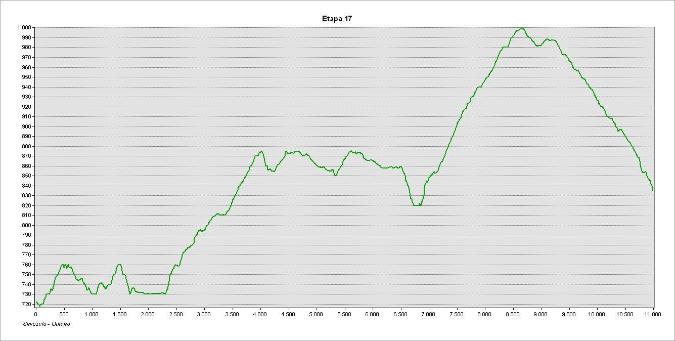
This stage extends between Sirvozelo and Outeiro, two villages that share a view of the Paradela reservoir. It is 11 kilometers long, mostly following country lanes and tracks, passing through the villages of Loivos, Fiães do Rio and Paredes do Rio. The route has as its main feature a wide diversity of scenery, revealing at each point some of the most beautiful rural scenery and the cultural heritage of the Barroso region and the Upper Cávado.
Take care to look out for the waymarks and signposts for the GR50 as there are several intersections and branches along this stage, as well as other marked routes. The signposts relating to the GR50 are clearly identified and, along this stage, are numbered from 17.1 to 17.44 (a numbered plate attached to signposts, the supporting post of information panels or direction mark). Always follow the GR50 waymarks and signs that indicate the direction of ‘Outeiro’
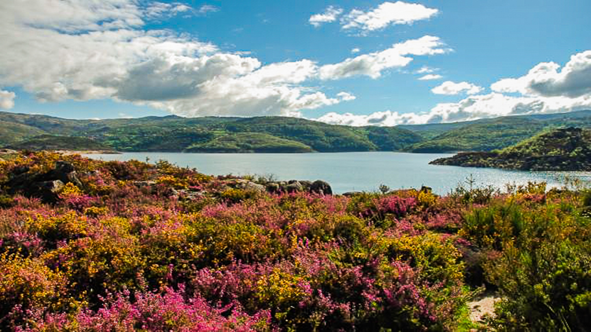
After visiting the friendly village of Sirvozelo, we leave by the country lane on the eastern side of the settlement alongside drystone walls that form boundaries to the water-meadows, turning right by the last walled field and following along the adjacent wide road. We pass an area of scrub and oak wood, beginning to see the mirror of waters in the Paradela reservoir. We cross the road and continue, following a concrete water retaining structure that forms part of the reservoir, until we join a path that takes us back to the road next to the main parapet of the Paradela dam. From the park adjacent to the dam wall we have the opportunity to see the distinctive riprap form of construction of this dam, with the wall made of accumulated bulk rocks.
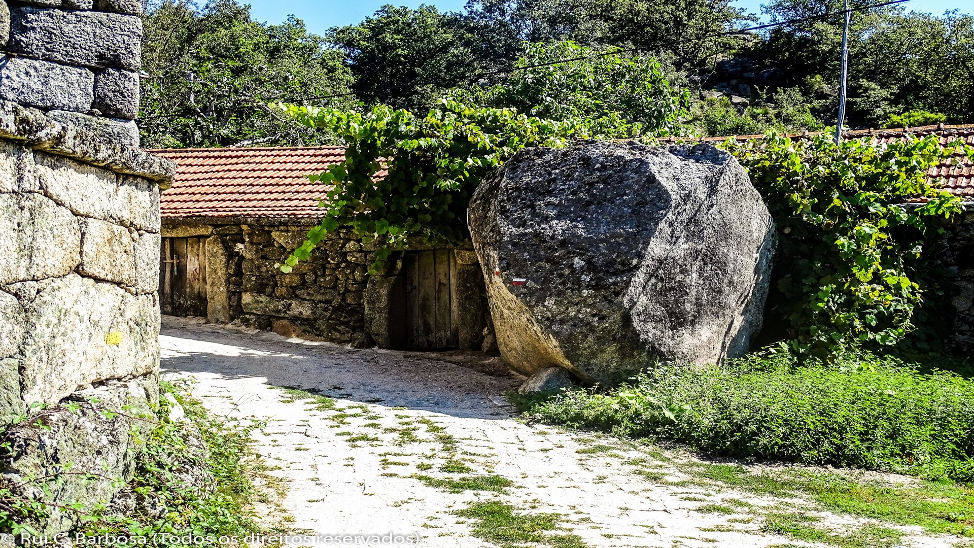
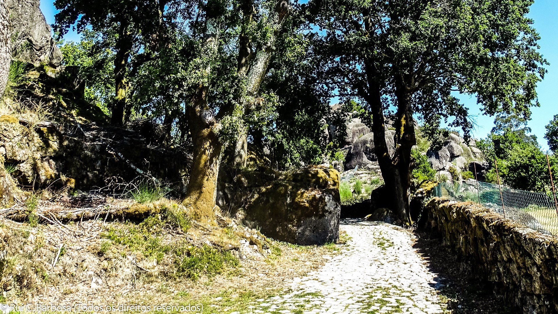
After crossing the dam parapet we join a narrow track between cypressus, identifiable by way of its small number of moss-covered steps, passing by some old support facilities to EDP employees, and a few meters later rejoining the road, already in the village of Paradela do Rio, the village which gave the dam’s name. To really see Paradela it is necessary to go into the village and walk through the old centre, something that is missed if you just remain on the main road.
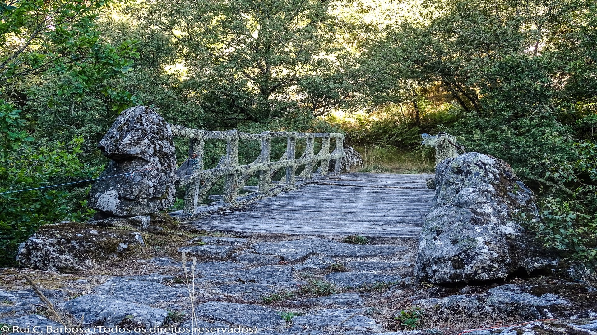
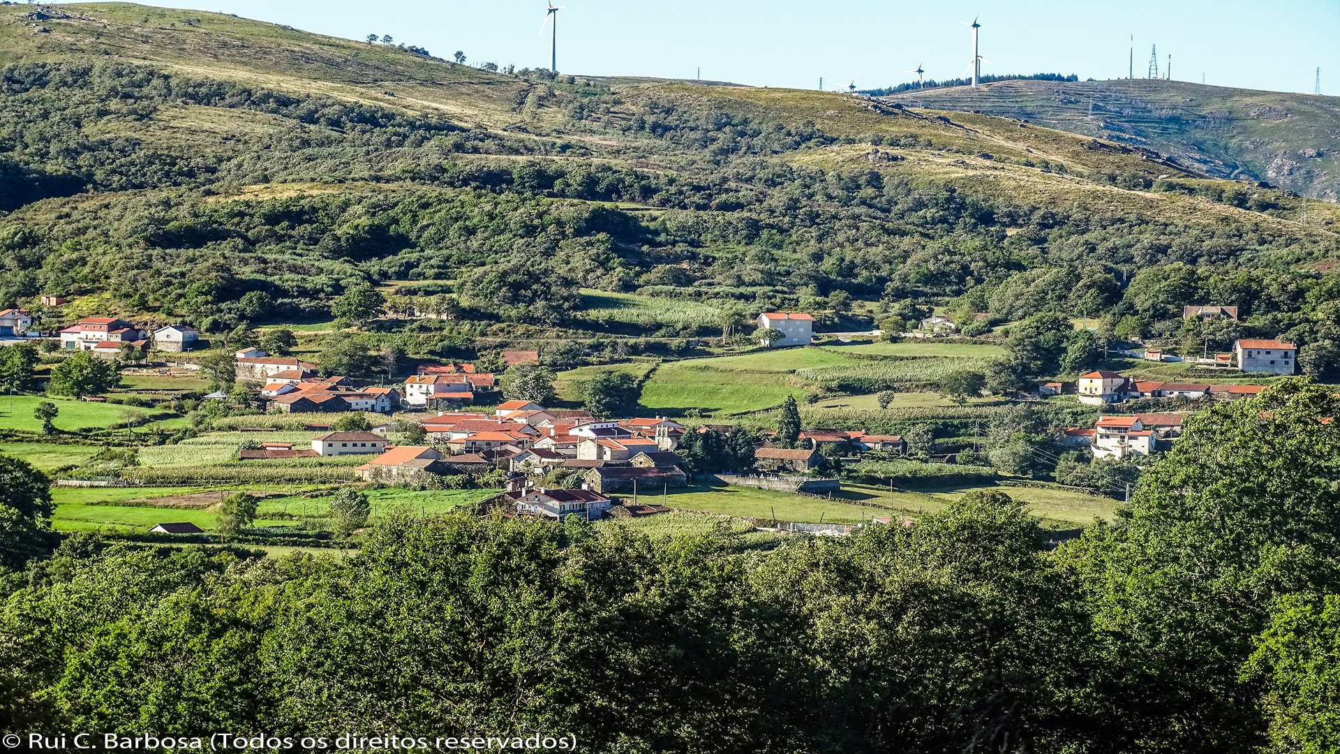
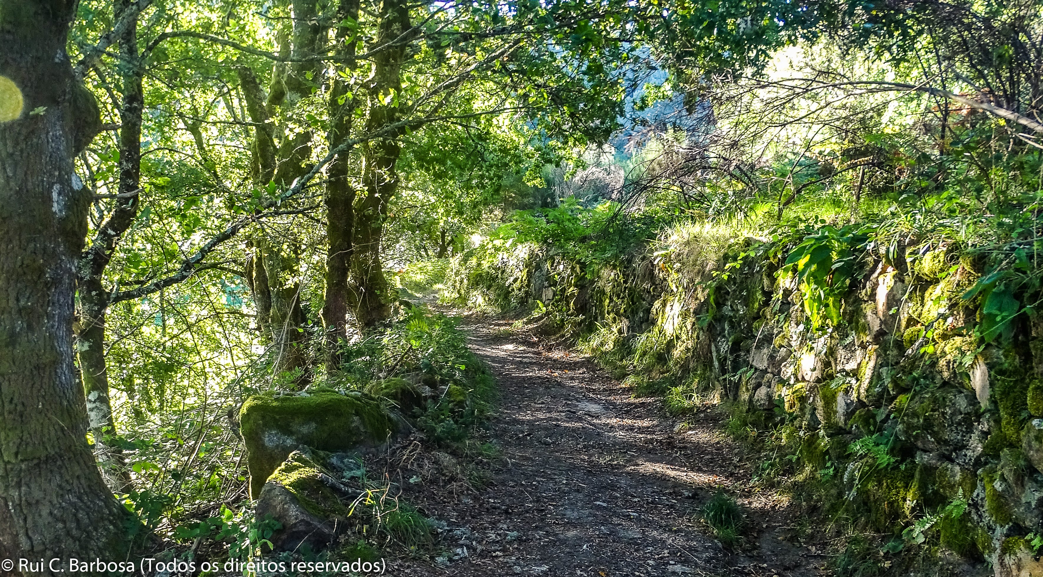
From Paradela we head to Loivos, joining the first track on the left, having already passed a roundabout. We keep following the track that runs parallel to the municipal road and, in a short time, we skirt around the patchwork of lameiros (water-meadows) and fields of Loivos, from where we can enjoy the fantastic scenery that opens out in front of us. The village has many detailed features of rural life that will hold or attention. We leave the village by Rua da Pala leading towards Fiães do Rio, always on farm tracks that cross the extensive area of fields and lameiros as well as some oak copses. In Fiães do Rio the cultural richness and diversified scenery created by the patches of autochthonous oak woods, lameiros and agricultural patchwork are once more in evidence. We leave the village taking an old track, still with traces of an old granite pavement, which leads to a wooden bridge that crosses the River Cávado.
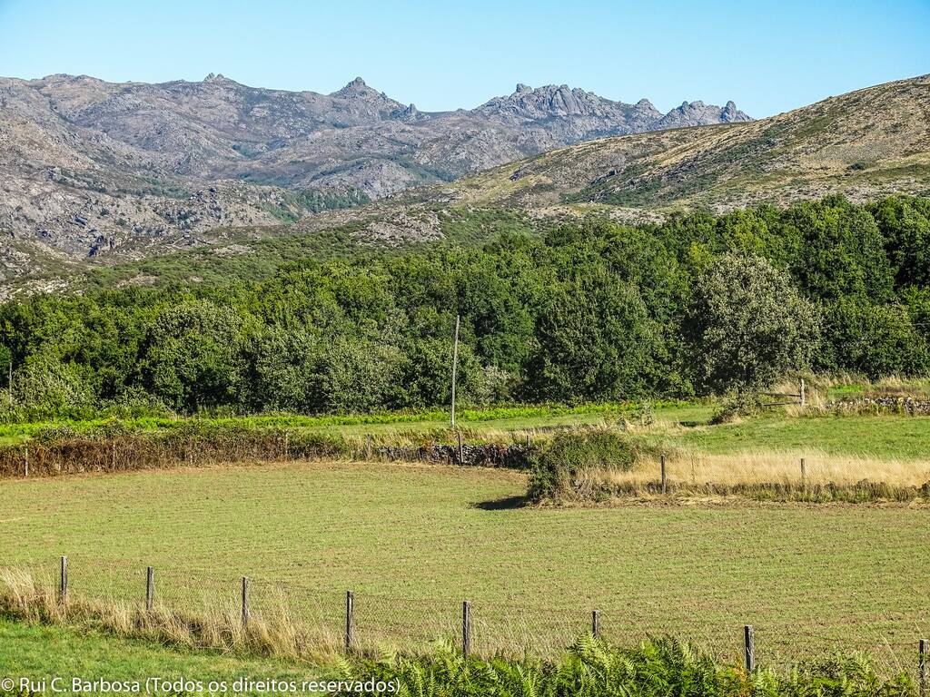
There then follows a climb up to Paredes do Rio, always by road or farm tracks and on a hillside full of oak woods and water-meadows. The route does not really enter the main village but it is worth diverting off to take a look at one of the most traditional villages of the National Park, where one can visit a group of watermills, the old irrigation structures and the felt press.
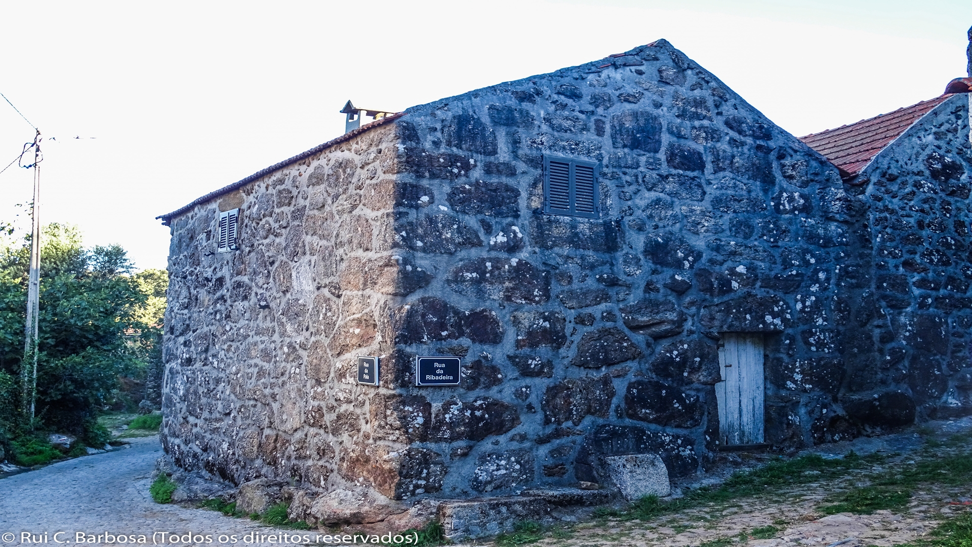
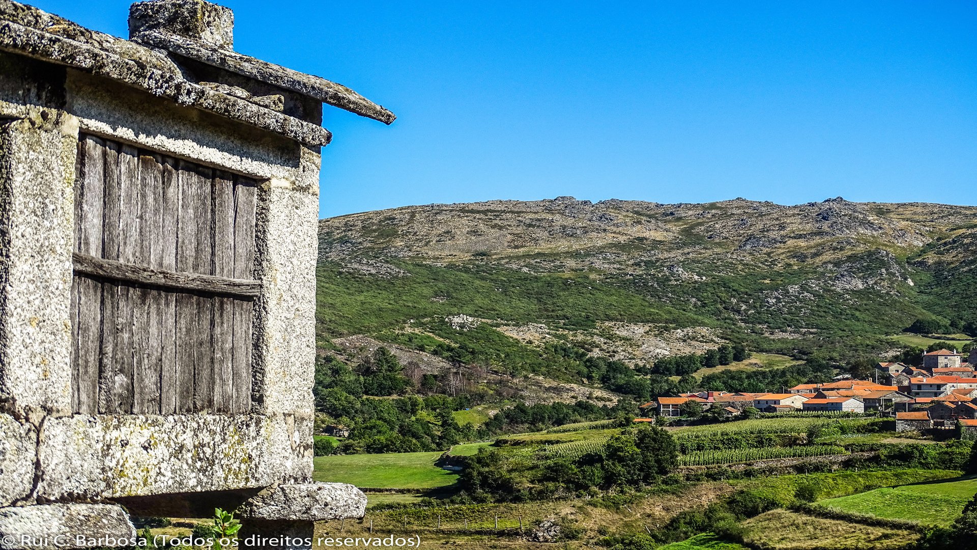
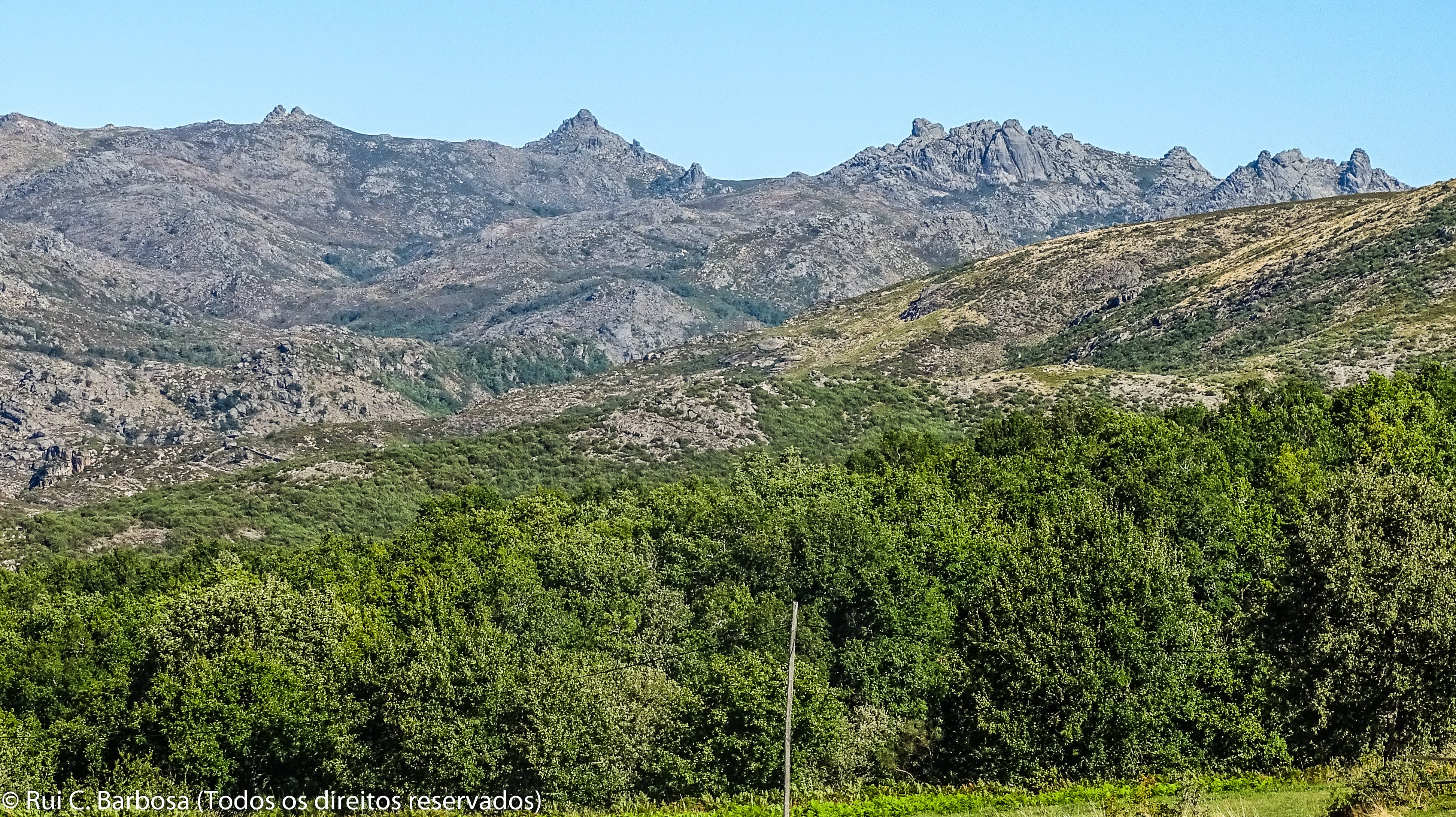
We finally follow towards Outeiro leaving Paredes do Rio on Rua da Cruz, the upper path to the shrines that are found at the intersection. We follow the narrow, poorly asphalted track that leads onto a dirt track, crossing a patchwork area of water-meadows and oak woods. Further ahead this track meets another, which we follow towards the village of Outeiro, which we are already able to see, as well as once again the Paradela reservoir, dominated by the granite peaks of the Gerês mountains. A little further on we join the municipal road, which we shortly leave, alongside a drinking fountain, continuing along a cobbled country track which brings us to the outskirts of Outeiro. From next to the beautiful Church of Outeiro we can descend into the centre of the village where waiting for us is a very well preserved rural nucleus, with many buildings in their original form and various elements of communal heritage such as the eira (threshing floor), fountains, the tank and the water font. The most important economic activity for this community continues to be cattle raising, in addition to arable farming and smoke curing. More recently various initiatives have appeared linked to tourism, offering new facilities to visitors who come to see the extraordinary scenery and harmonious atmosphere of the place.


