
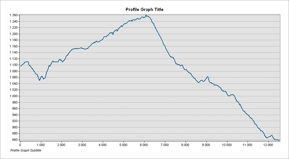
The stage extends between Pitões das Júnias and Tourém, covering a distance of about 12.5 km between these two Barroso villages. This is an international stage since it includes a section in Galician countryside. It is carried out entirely on narrow lanes, forest and farm tracks, passing across the plateau heights. There are no support services between the two villages. Stock p with provisions before you leave. The route includes some very exposed sections without tree cover, especially in the Spanish section.
Take care to look out for the waymarks and signposts for the GR50 as there are several intersections and branches along this stage, as well as other marked routes. The signposts relating to the GR50 are clearly identified and, along this stage, are numbered from 19.1 to 19.35 (a numbered plate attached to signposts, the supporting post of information panels or direction mark). Always follow the GR50 waymarks and signs that indicate the direction of ‘Tourém’
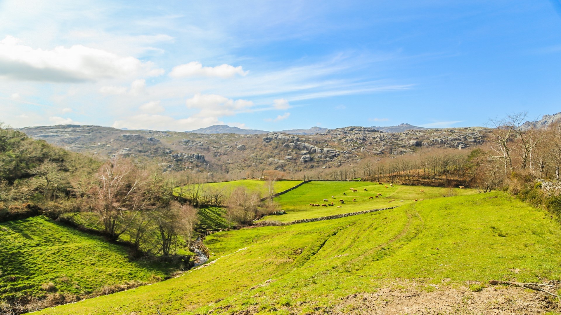
After visiting Pitões das Júnias we leave from the square by the old primary school, passing Largo do Eiró and following Rua do Outeiro towards the north. After passing Pitões Bakery we take the first track off to the left and continue for about 1.8km on a forestry track that leads through oak woods. When we reach a paved road we cross the bridge with metal guard rails and take the track to the right, following the flat area alongside the Valongo brook towards Portela de Pitões. Along this section we cross an agroforestry patchwork with zones of scrub and where there are also small areas of peatbog, all combining to create a complex of habitats rich in biodiversity.
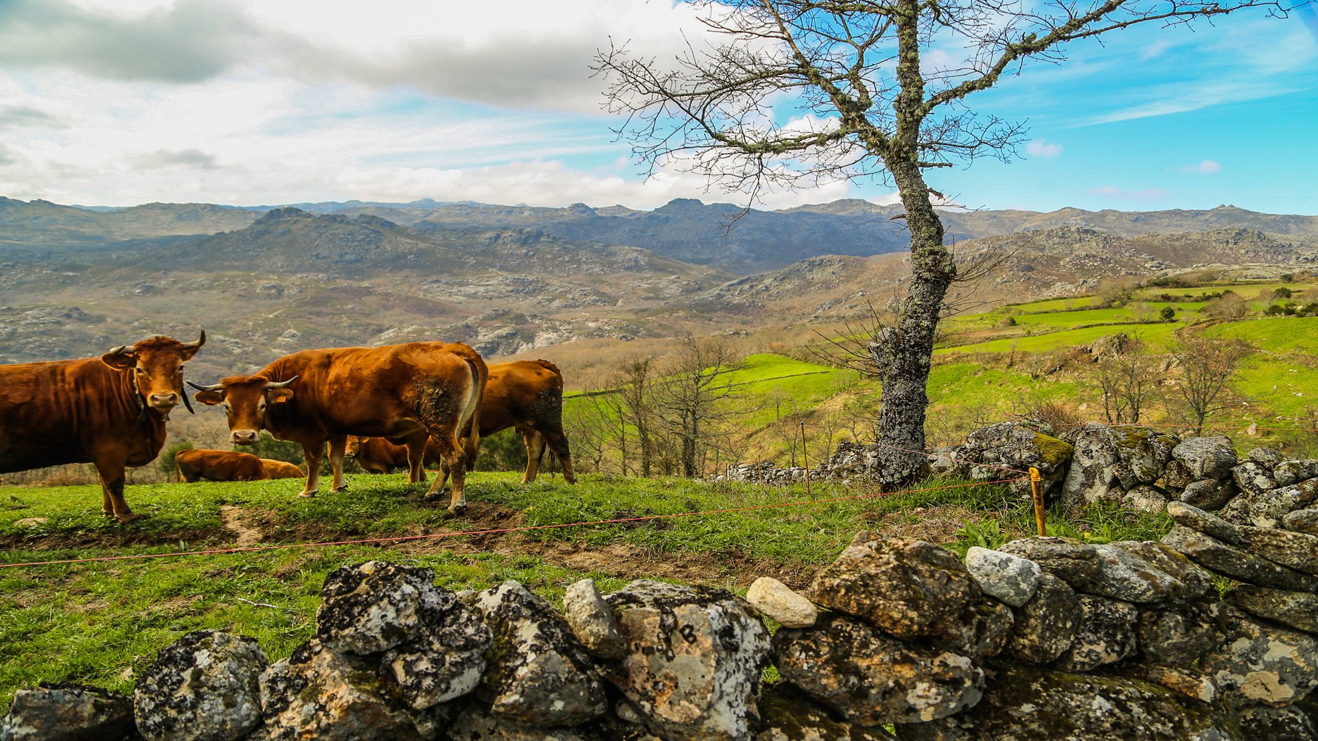
At Portela de Pitões, where boundary stone 67 marks the border between Portugal and Spain, we have the opportunity to become aware of the contrast between the granite peaks of the Gerês mountains and the gentle relief of the Mourela plateau. We also find here a tumulus - a funeral monument from the Neolithic period, providing evidence of the antiquity of human presence in this region.
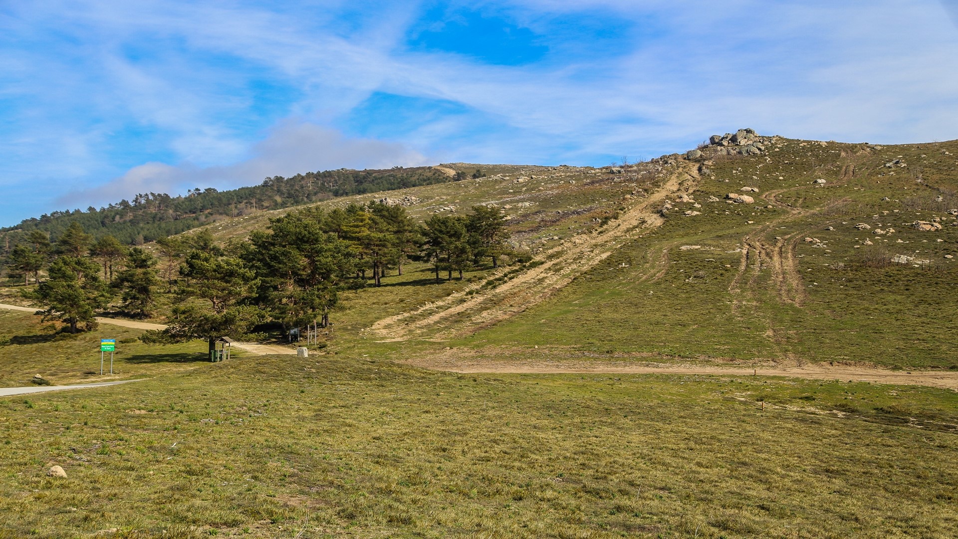
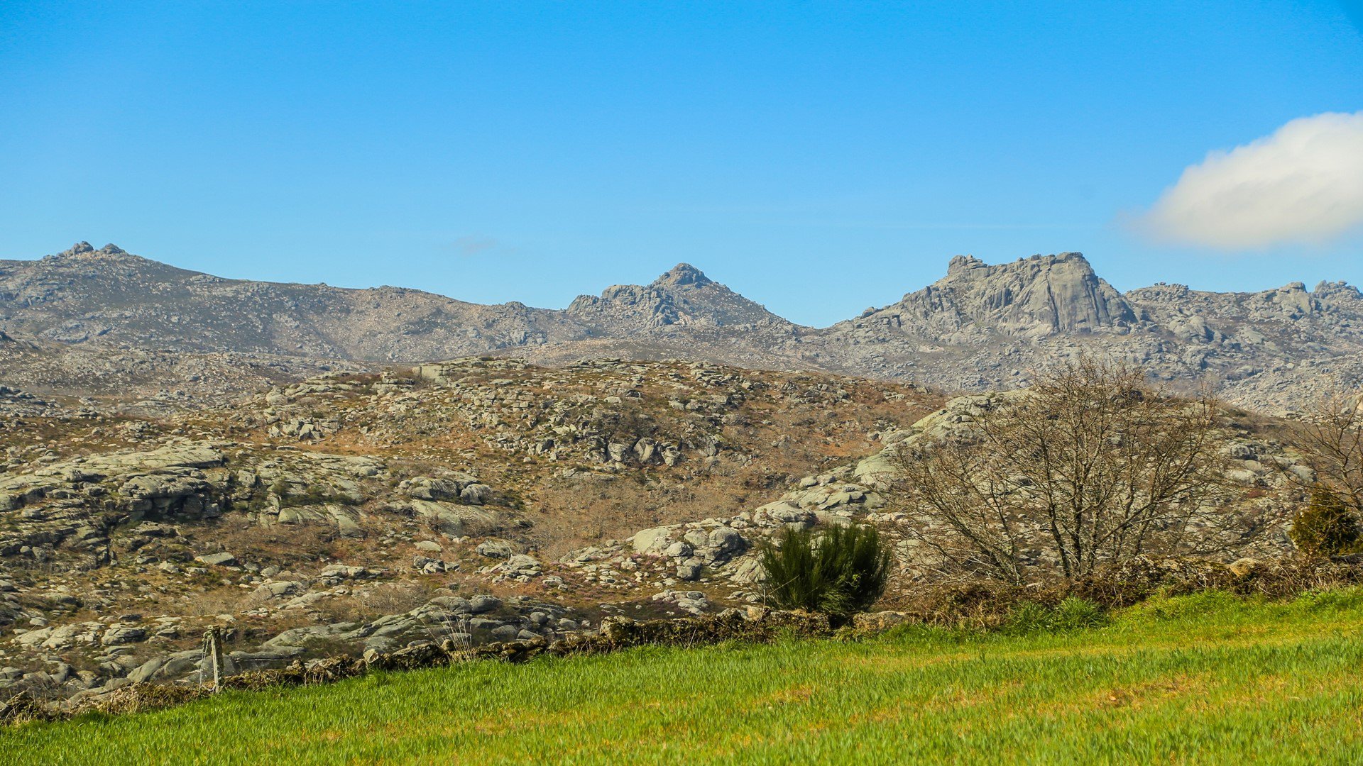
We are now continue along the Spanish section of the stage, heading east along a forestry track that leads to Alto do Pisco, where the route reaches its highest point (1284 m). The view is remarkable! There is a Spanish hostel here.
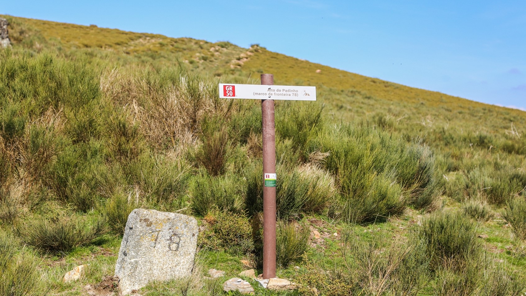
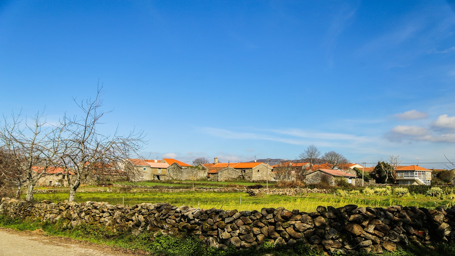
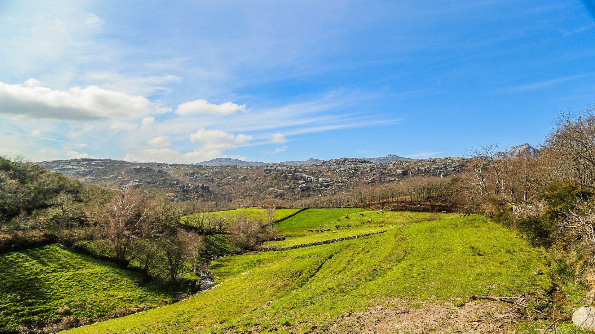
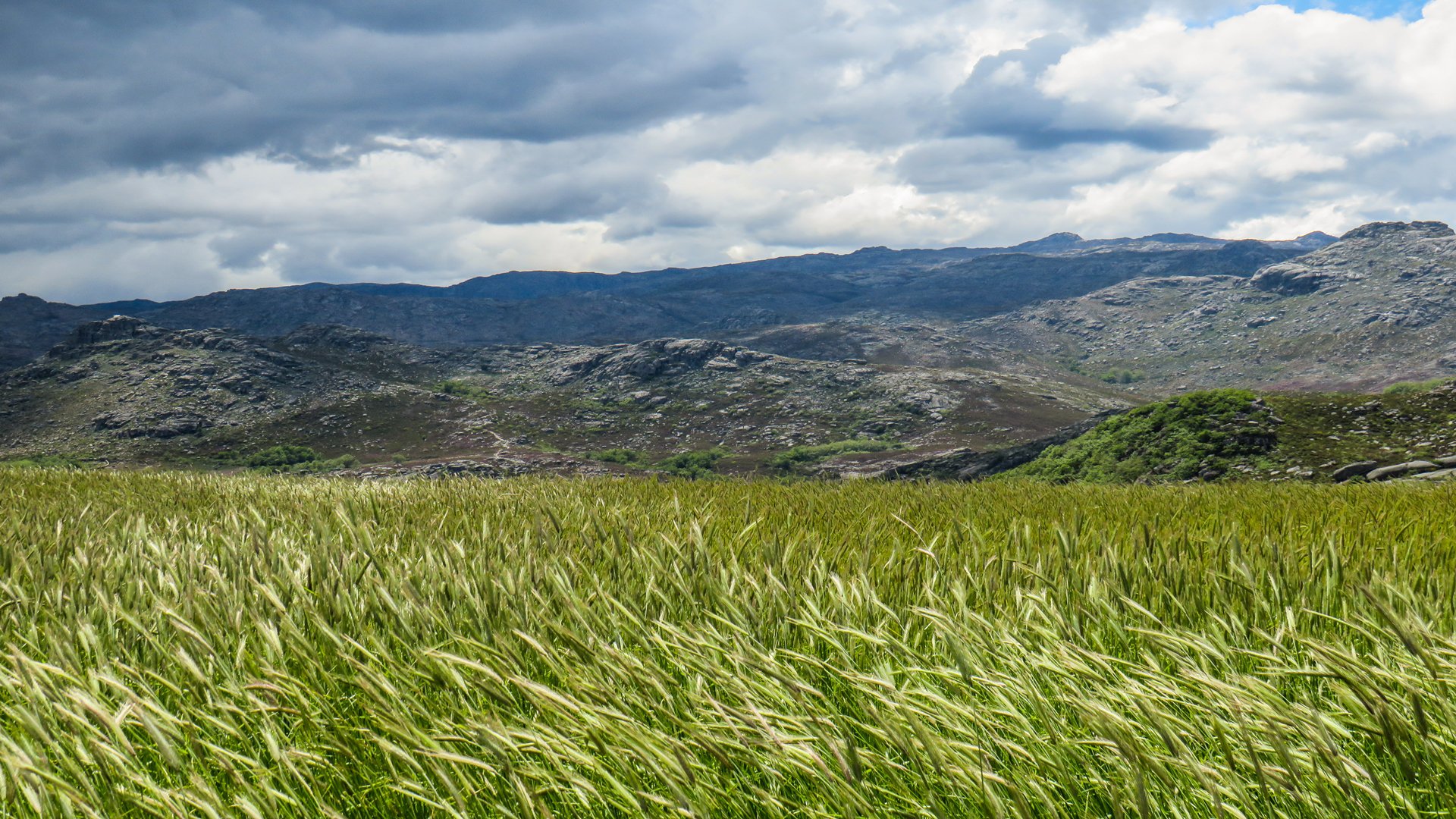
We follow along the forestry track enjoying unobstructed views, turning off near to Alto do Padinho to re-enter Portuguese territory next to boundary stone 78. We continue on a forest track towards Tourém and gradually the village comes into view, surrounded by an extensive patchwork of fields, water-meadows and oak woods.
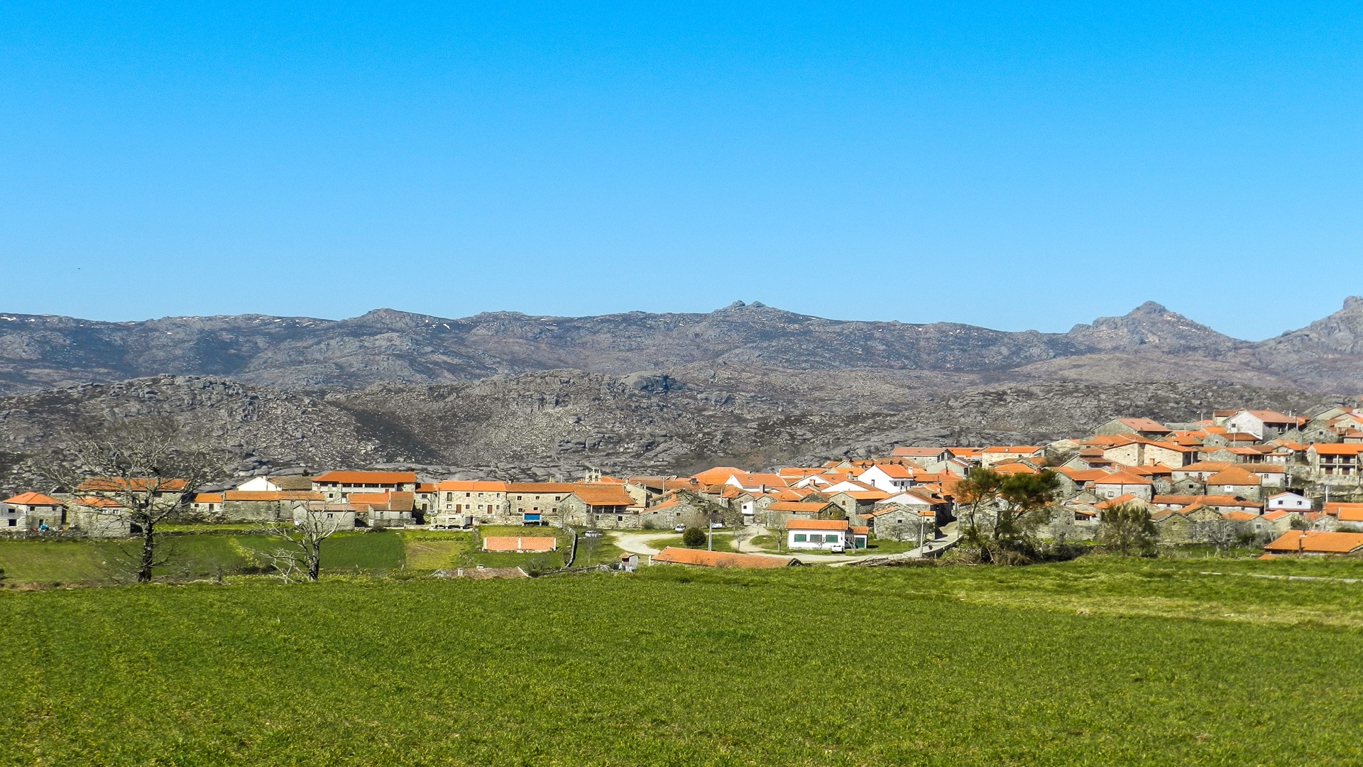
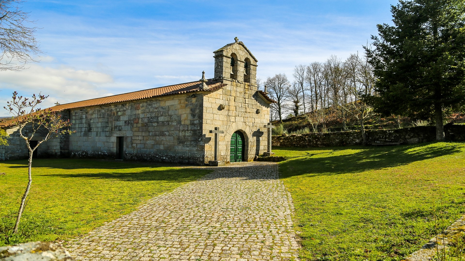
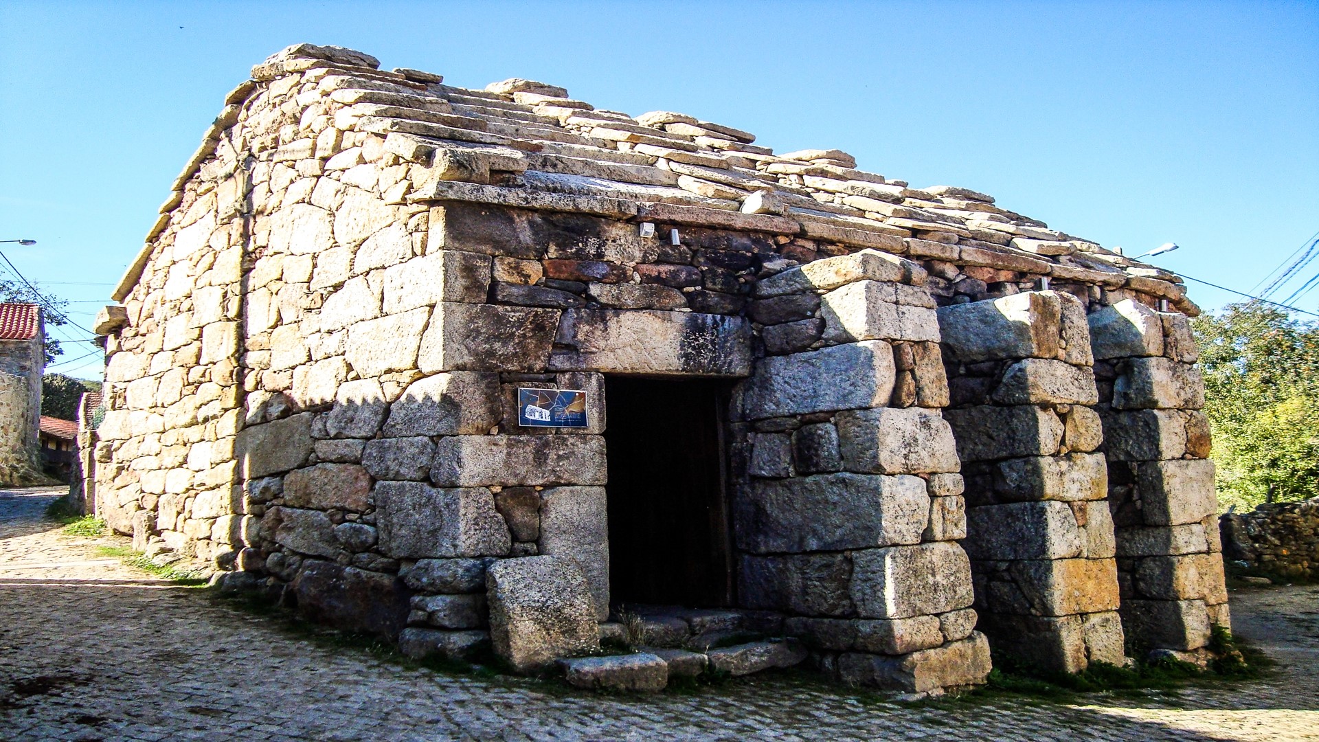
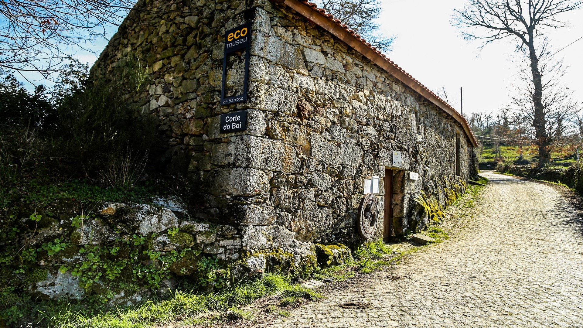
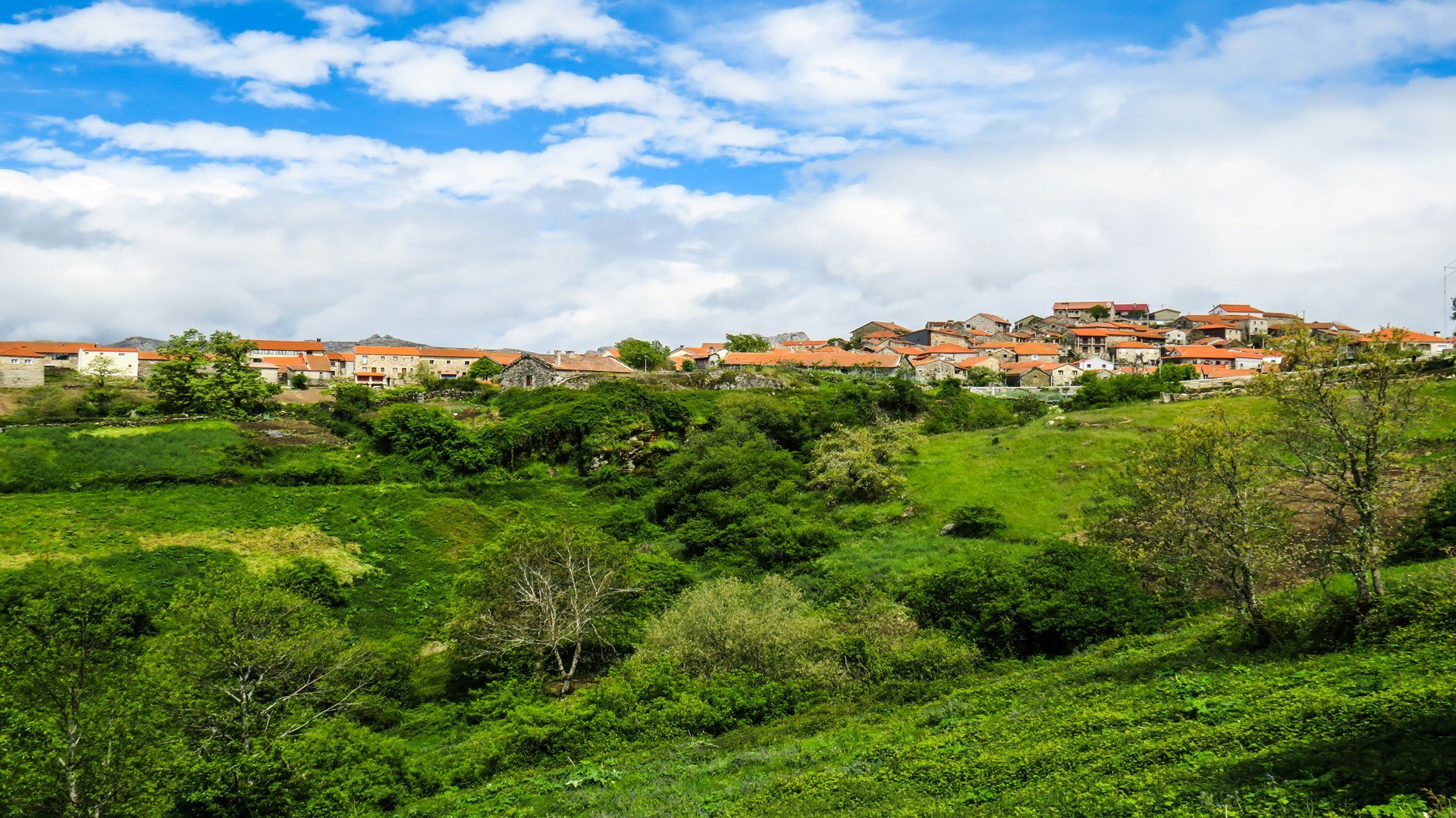
Tourém is entered by way of a farm track, passing along the granite pavement near the Church of St. Peter. After the first group of houses and the Communal Oven, we follow a cobbled track that crosses part of the cultivated area, passing in front of the old public ox-byre, currently converted into a nucleus of the Barroso Ecomuseum. We continue and soon arrive at Largo do Outeiro, where we the walk finishes. If you still have the energy you can continue downhill a further 500 metres to the bridge over the Salas reservoir and enjoy the surroundings there.
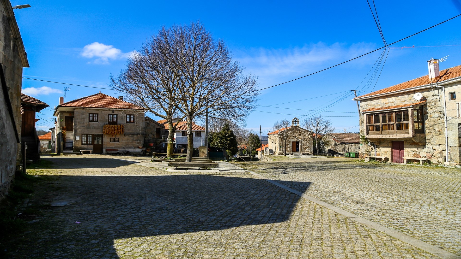
Whilst in Tourém be sure to visit the village, taking a walk through its narrow streets between the granite houses. The village has some commerce and support services, including tourist accommodation, a café-snack bar and grocery store.


