
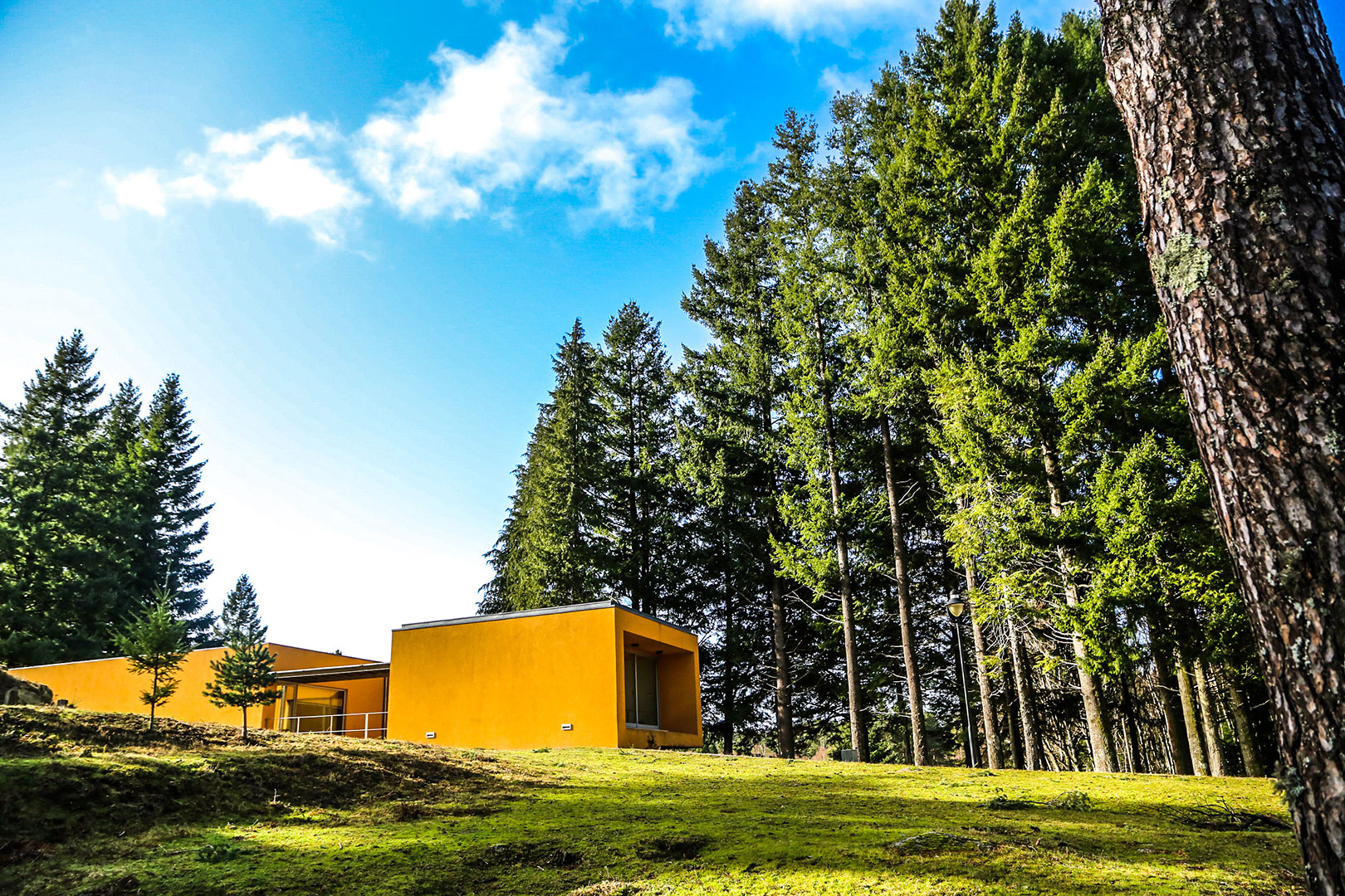
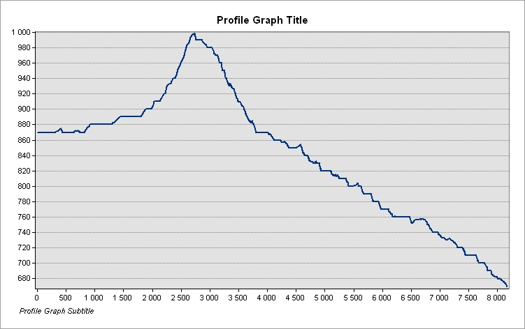
The stage begins at Lamas de Mouro Park Gate in the Municipality of Melgaço, covering little more than 8 kms to Peneda, which is in the municipality of Arcos de Valdevez. During the walk look out for the GR50 – Peneda-Gerês Long Distance Path waymarks and signposts. The route follows closely to and parallel to the municipal road that connects Lamas de Mouro to Peneda, crossing it several times, thereby making direction finding very easy.
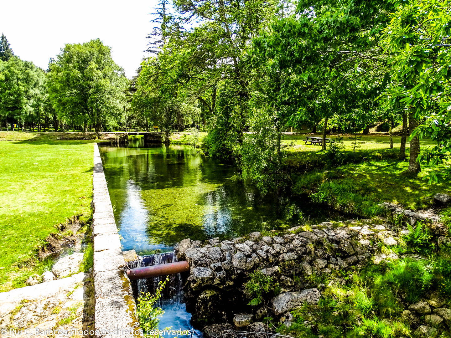
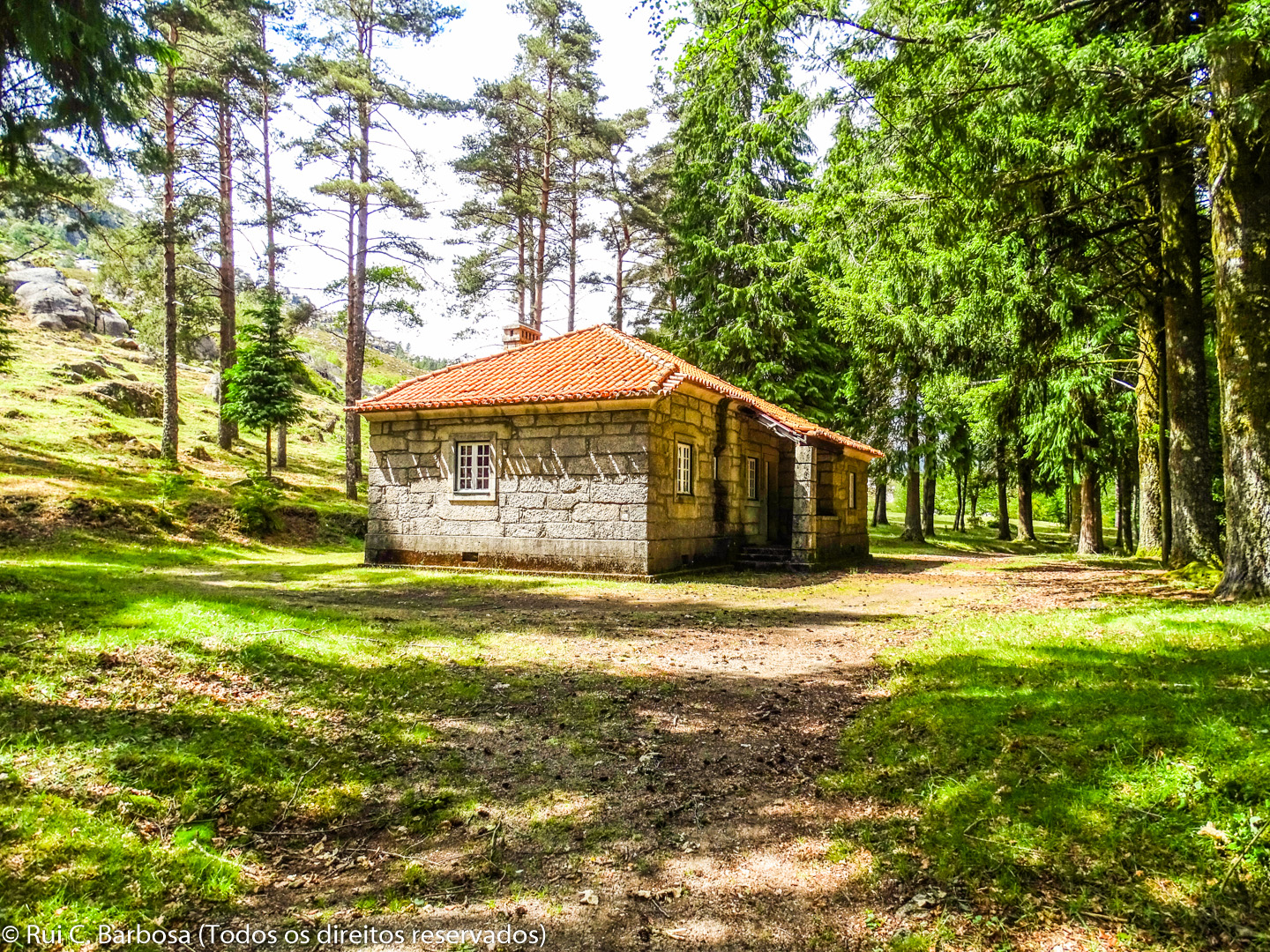
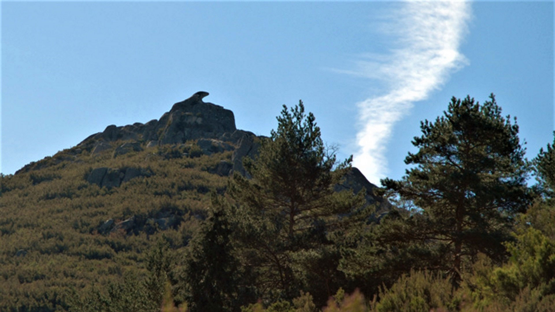
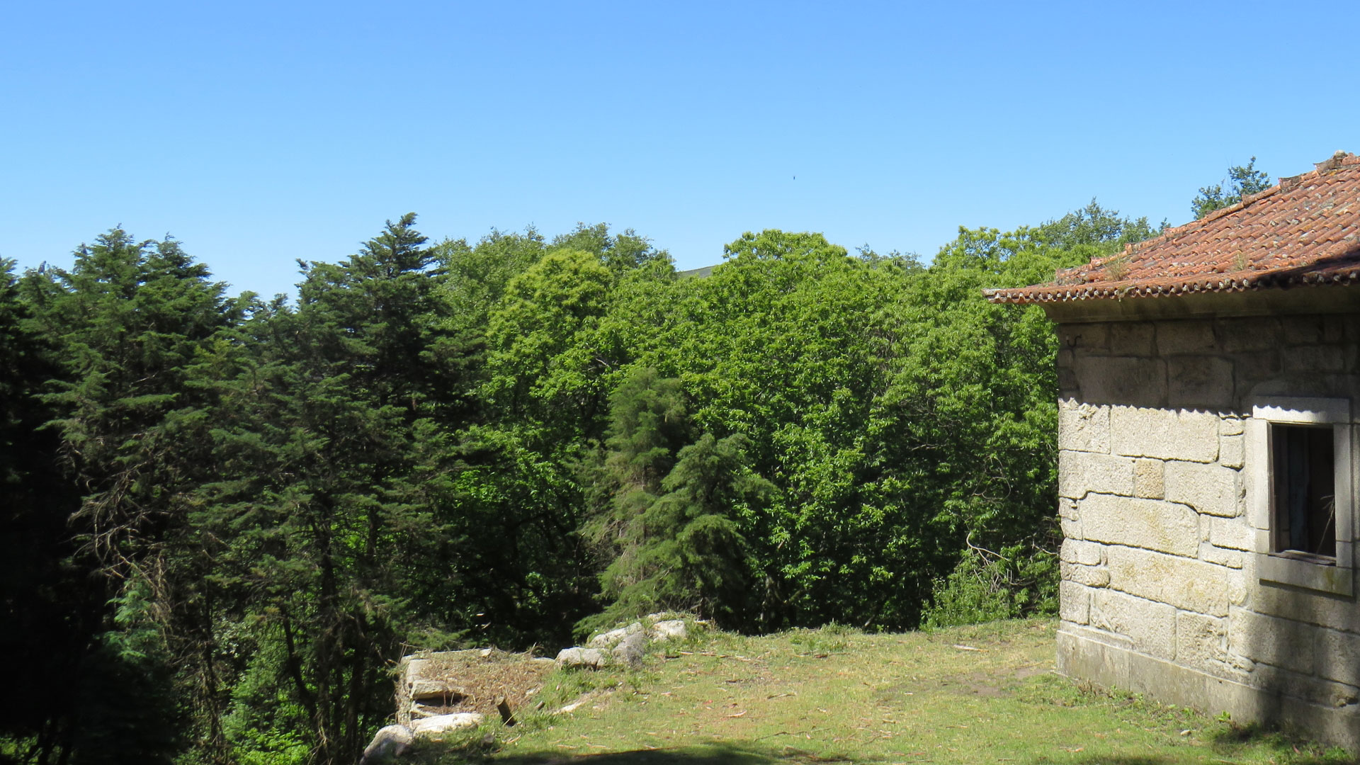
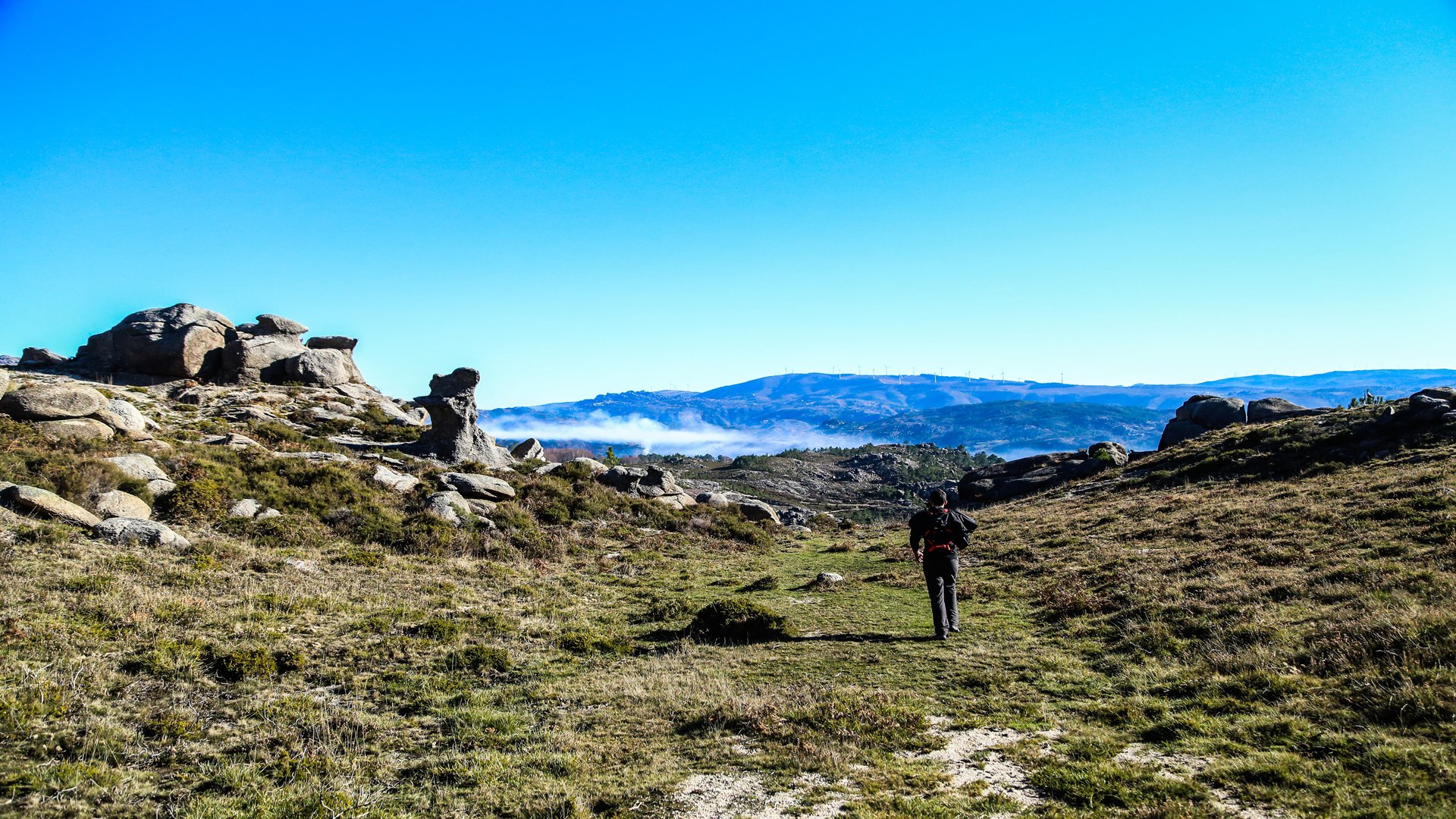
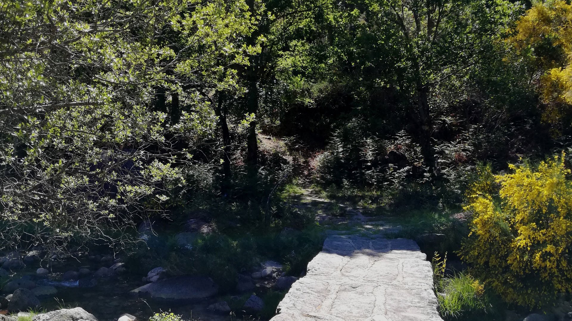
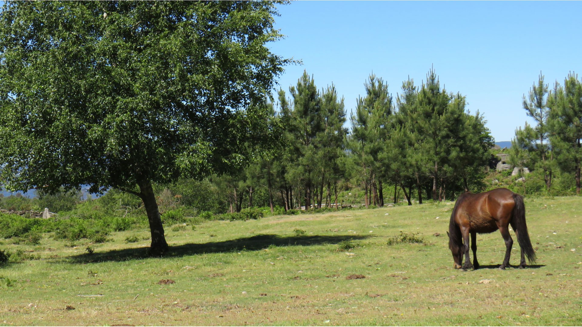
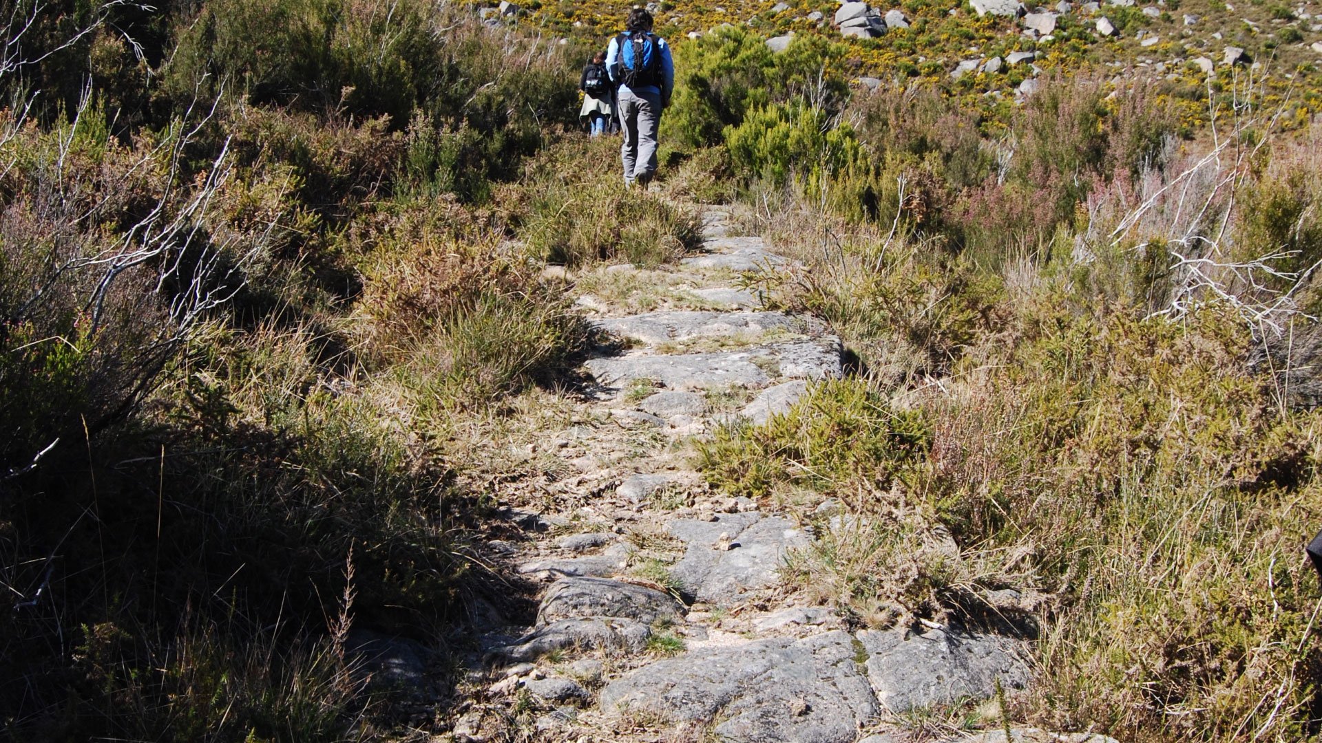
Leaving from the stage start panel located next to Lamas de Mouro Park Gate, the route crosses the road and then passes over the Mouro River by way a walkway, towards the old, now restored, Forest Guard House. Then heading south (turning left), passing the picnic area the route then passes through a fabulous mixed woodland alongside the river Moura, almost to its source near Portela do Lagarto. After passing by the Bico de Pássaro Forestry House the route starts climbing up to Portela do Lagarto, the highest point (1000 meters) on this stage. On this climb up we can see, still preserved, part of the original pavement of the ancient path linking Lamas de Mouro to Senhora da Peneda.
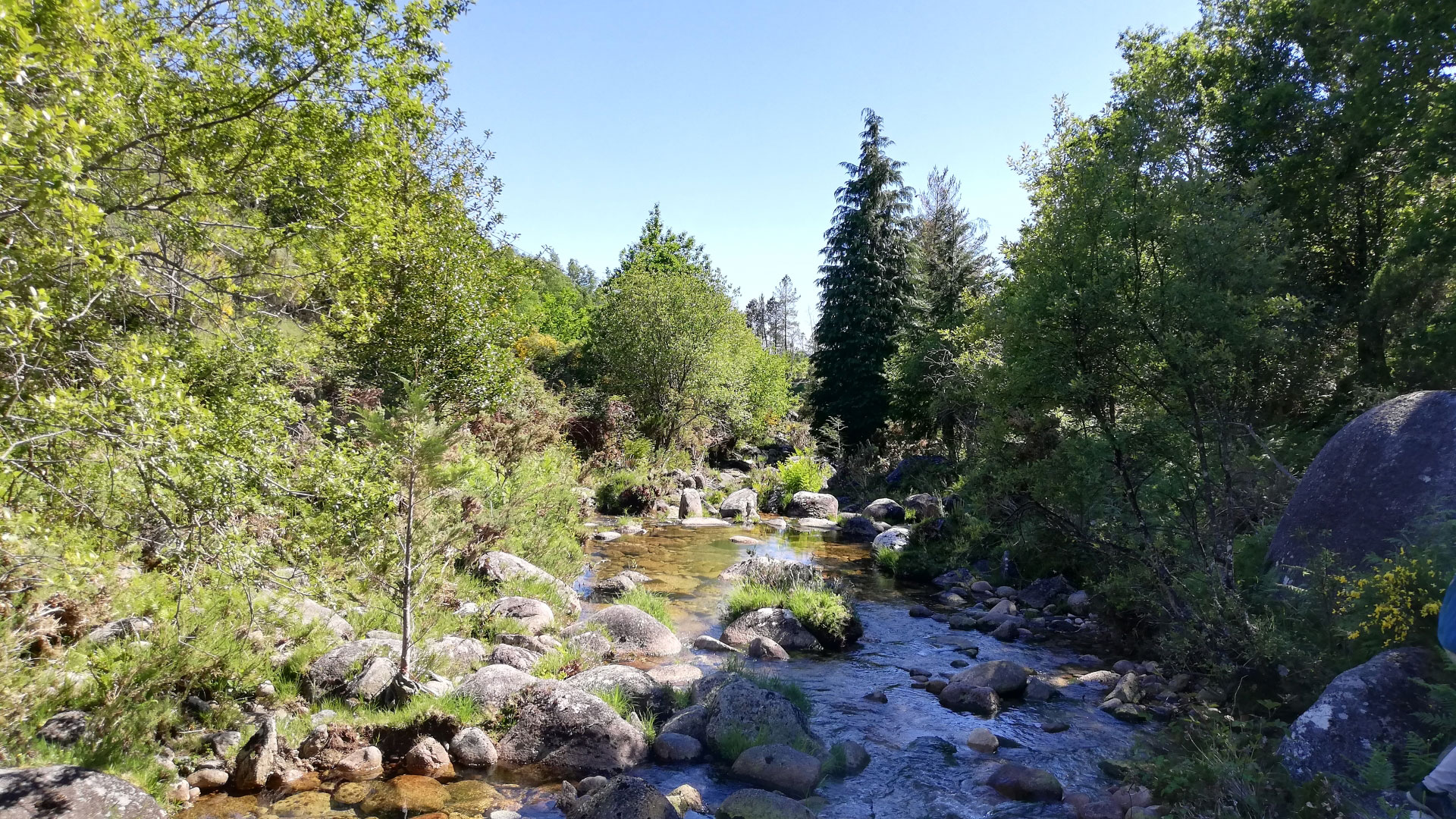
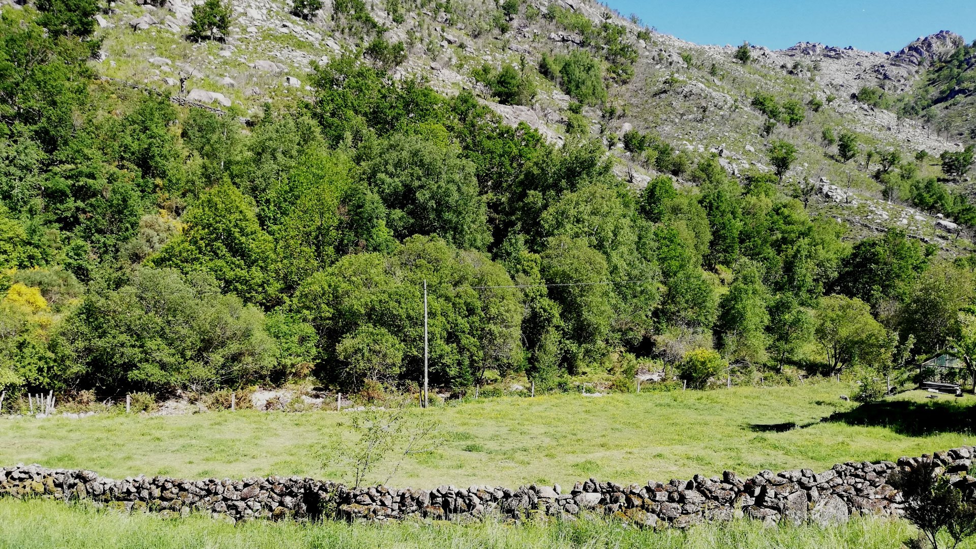
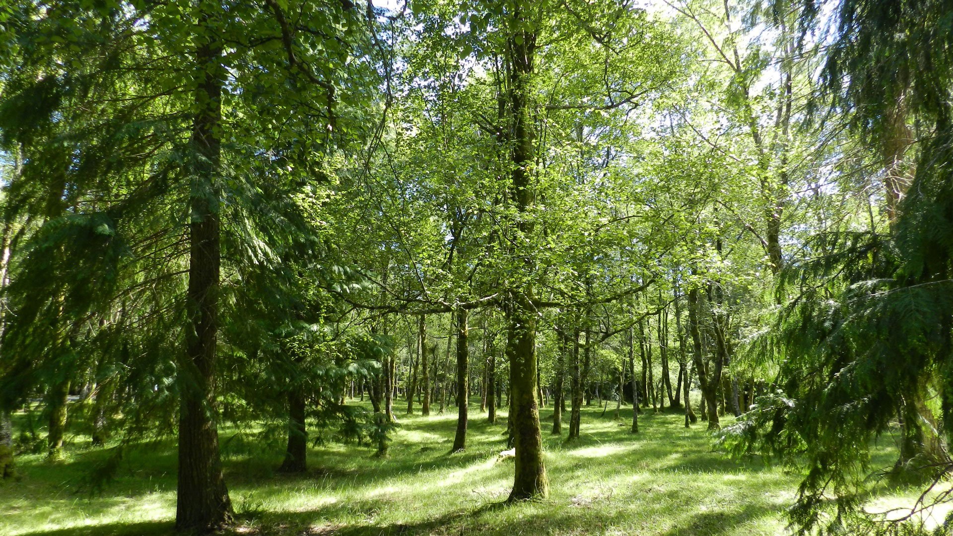
At Portela do Lagarto we join the road again. Turning right, in the direction of Peneda, the route follows this for about 300 meters where we join a path off to the left that leads us to the into Tieiras oak wood. From here the route goes straight down the bottom of the valley alongside the Tieiras stream and, further ahead, the Peneda river.
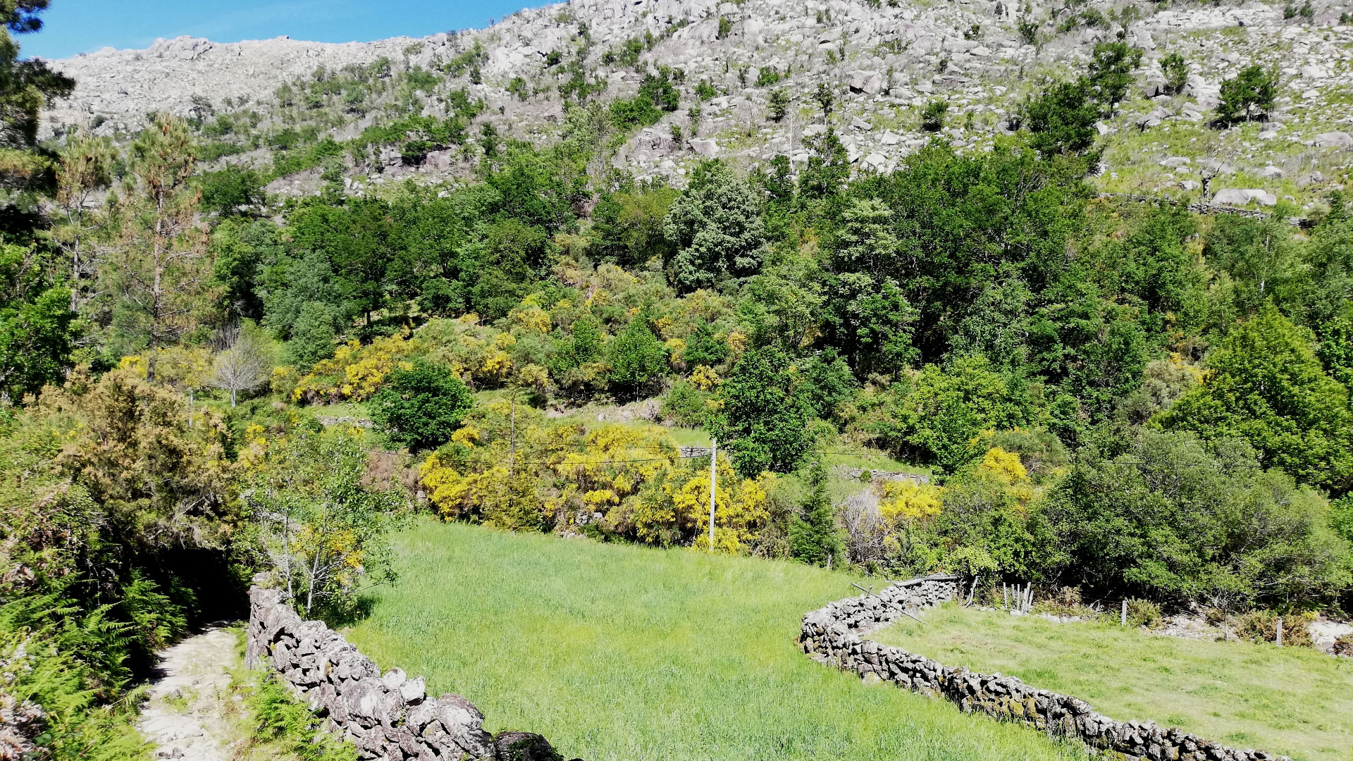
After following for about a kilometre through Tieiras oak wood the route crosses the municipal road again and then passes the bridge over the Tieiras river then running through a wooded area alongside an old Forestry House and, about two kilometers further on, meets once again the municipal road where a bridge crosses over the Peneda river. There are about two kilometres left from this point to the end of the stage. Shortly after passing the bridge we turn right and join a narrow path that leads to the small agricultural fields alongside the banks of the river. Further ahead you will pass a small footbridge over the Peneda river, a superb place to freshen up in cool waters if the weather is warm. Continue heading always to the south, alongside the river. At this point the route will leaves the municipal road to join farm tracks, giving opportunities to enjoy the agricultural landscape of the Peneda valley
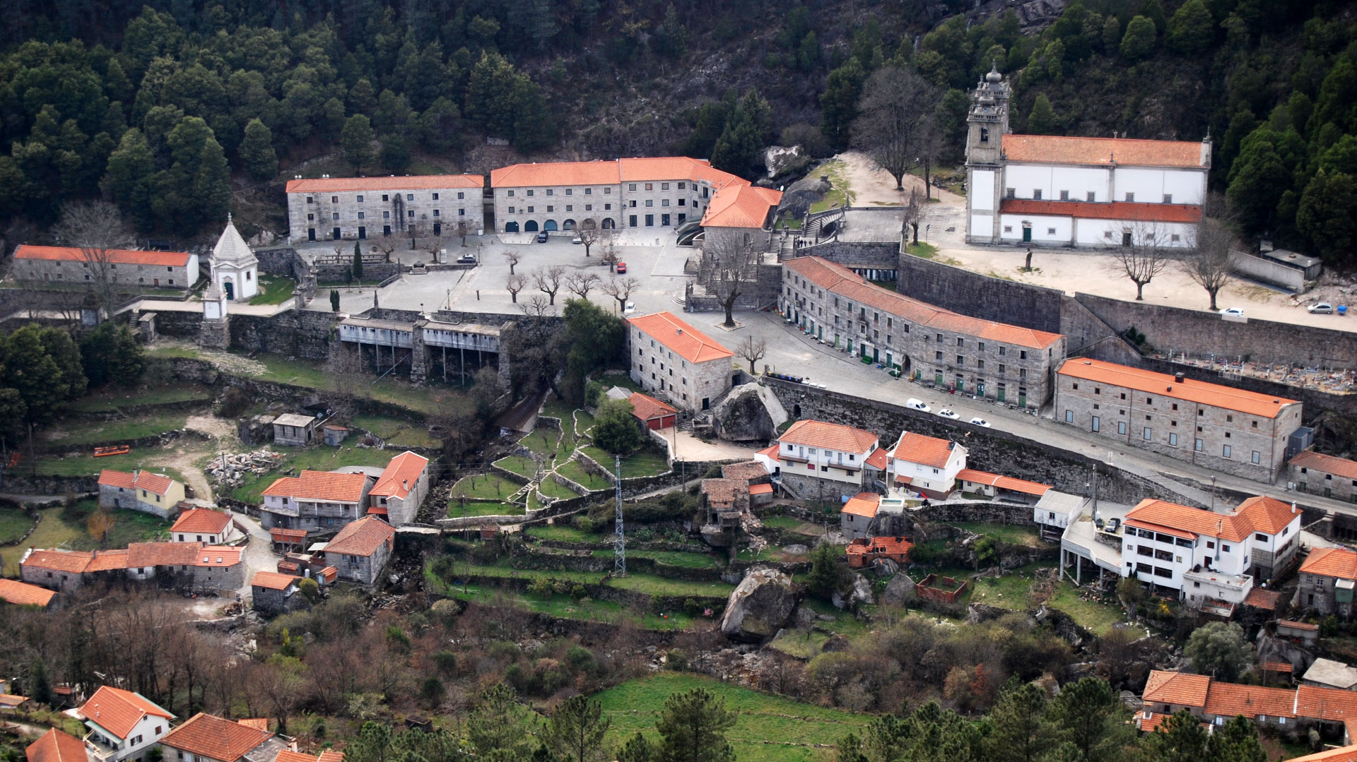
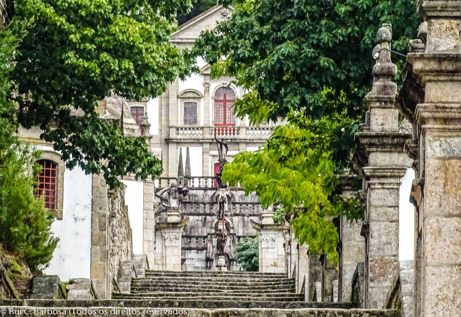
The final part of this stage follows the municipal road, ending about 200 meters before the shrine of Our Lady of Peneda. Take time to visit this.


