
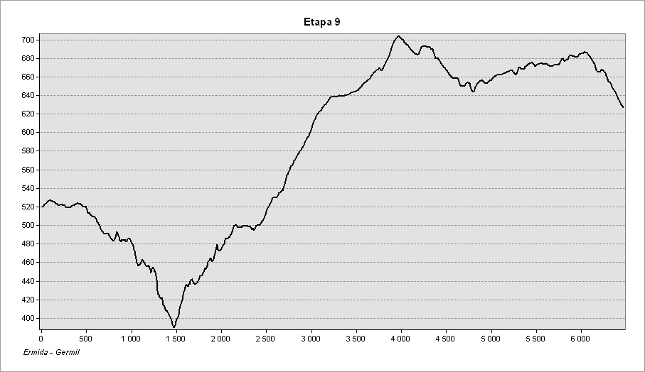
The route between Ermida and Germil traverses the western slopes of the Serra Amarela, in a true montaine environment. In these villages there are no food supply services, nor any support along this stage. Stock up before you start.
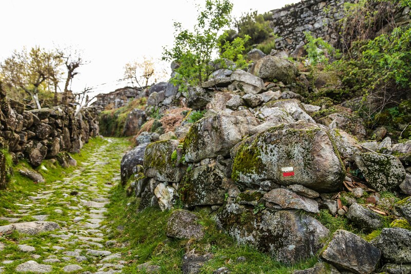
Take care to look out for the waymarks and signposts for the GR50 as there are several intersections and branches along this stage. The signposts relating to the GR50 are clearly identified and, along this stage, are numbered from 9.1 to 9.22 (a numbered plate attached to signposts, the supporting post of information panels or direction mark).
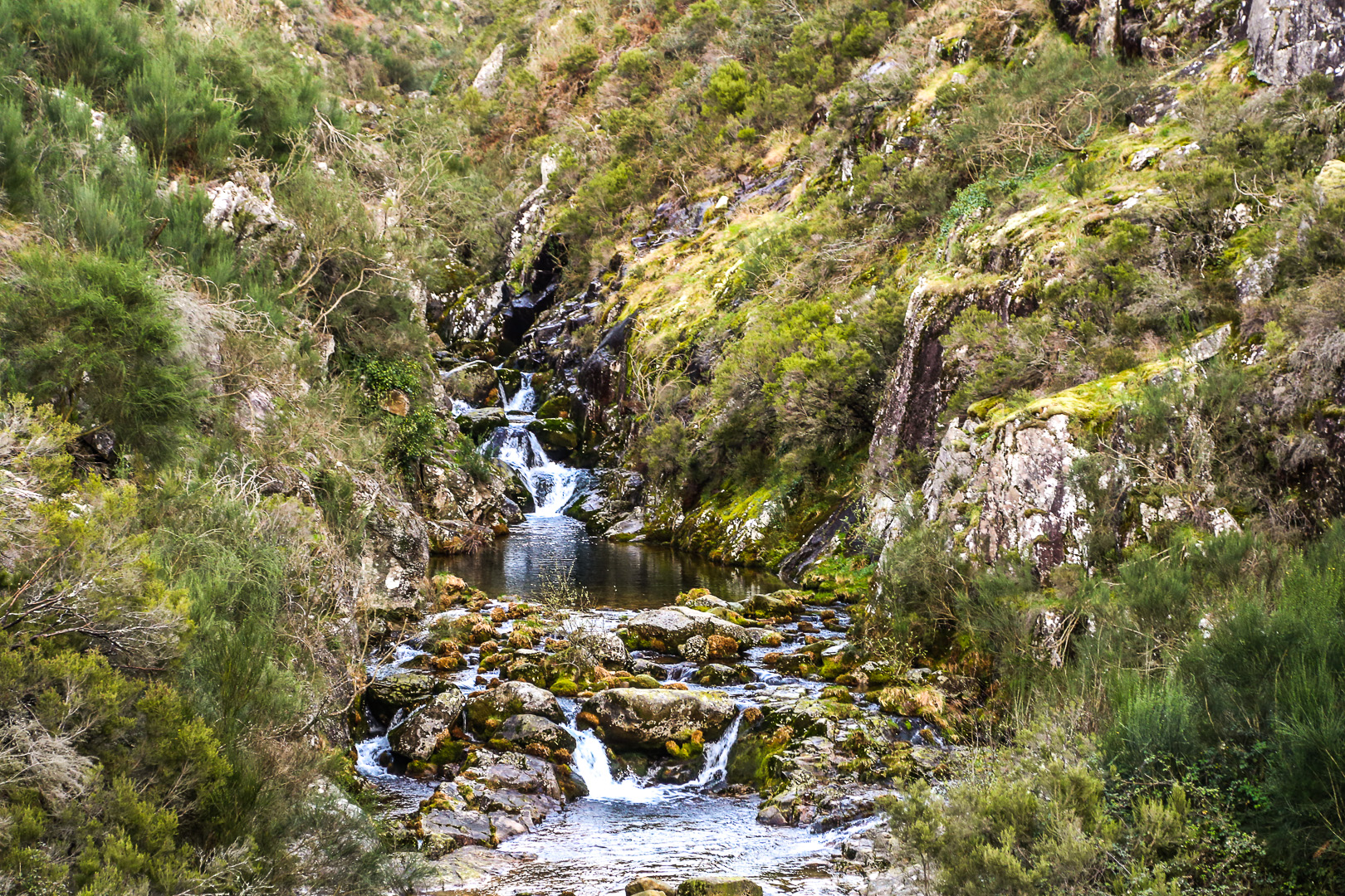
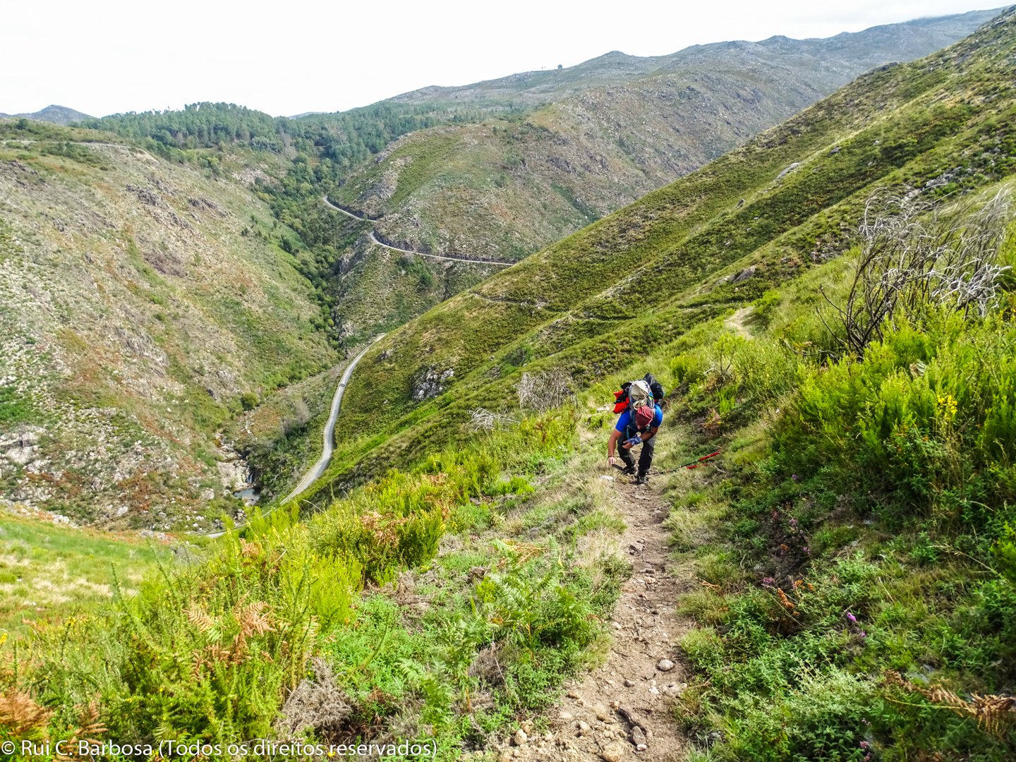
Starting at the Ermida Viewpoint, from where we can see the magnificent landscape of the valley of the Froufe river, embellished by stairways of terraced fields and hardwood copses, we start our walk towards the bridge over the Carcerelha, a mountain stream, set in a deep valley and with lagoons of crystalline water and a popular spot for practitioners of canyoning. To reach the bridge we simply keep following the municipal road. Before descending to the lower levels, appreciate the landscape marked overwhelmingly with a characteristic relief of ridges, deep valleys and ravines. True mountain scenery! Here you often see birds of prey, such as buzzards, montague harriers or the nocturnal eagle owl.
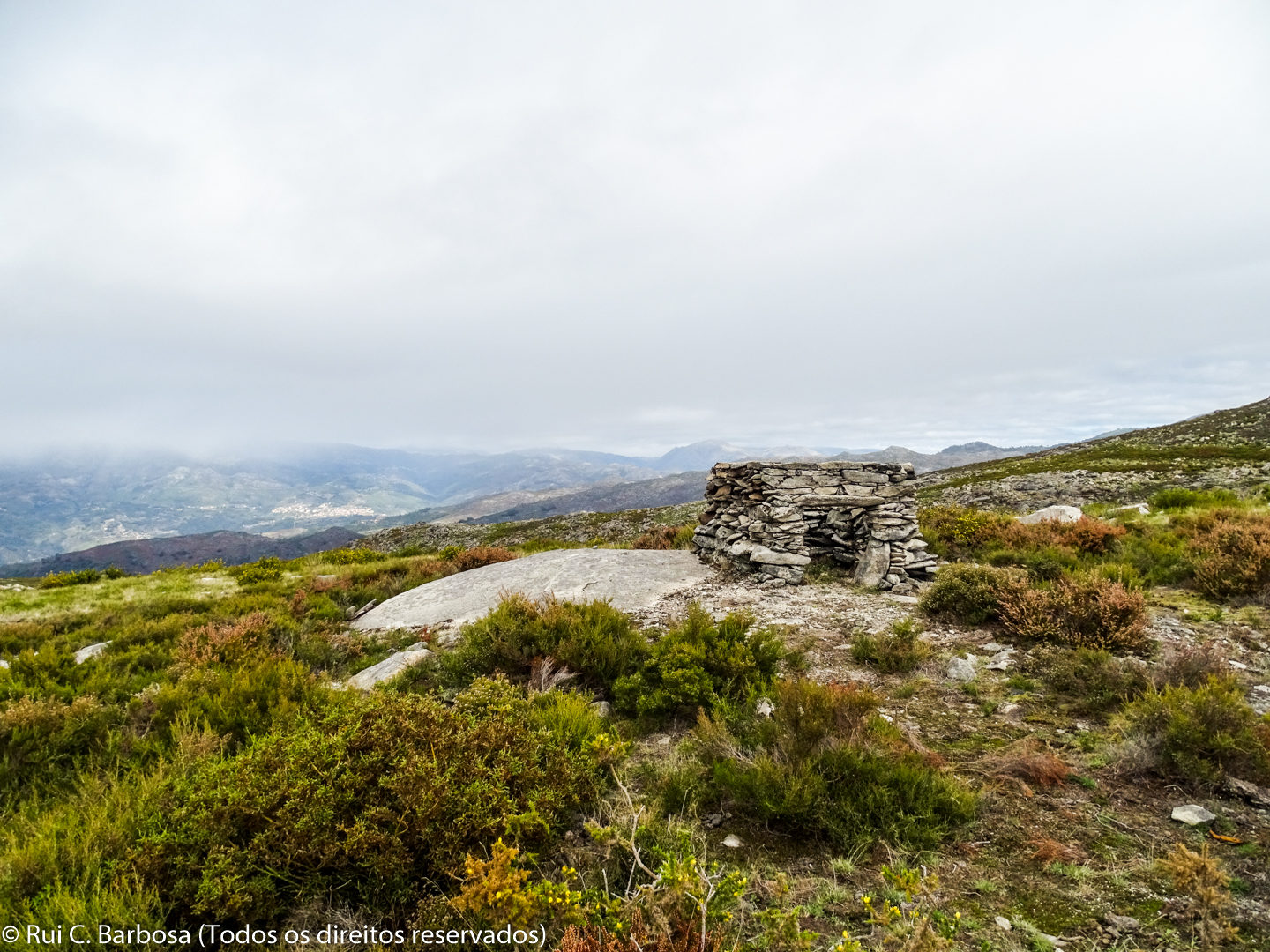
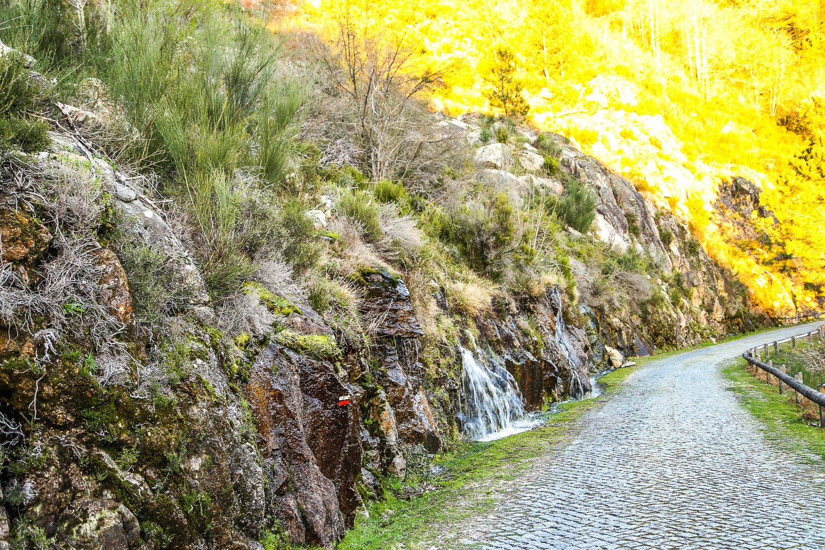
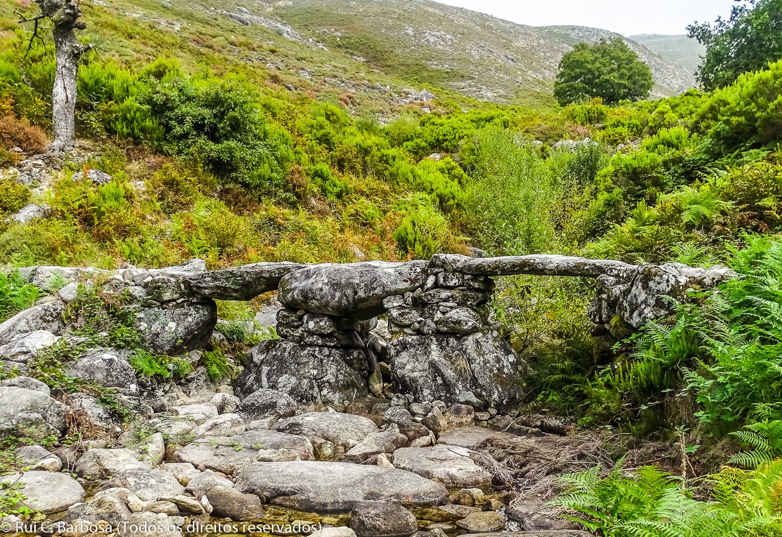
After crossing Carcerelha bridge the route forks off to the left, climbing up a steep path up to higher levels. About one and a half kilometers ahead and having crossed a small stream (torrent) we come to a forestry track, next to some small and apparently abandoned walled fields. About 50 meters ahead we leave the track, heading south. Shortly after we cross another forestry track which runs perpendicular to our direction of travel. We continue to climb, passing the Mestras stream, already close to its headwaters, reaching an area of less demanding terrain. Finally there is another small climb to reach Eido and Giadela, the highest point on this stage (704 m). The topography now becomes softer. It is a col and watershed area, dominated by scrub and especially heather and gorse, one of the characteristic natural habitats of the National Park. On our right, in a southwest direction and on the left bank of the Germil River, you can see the Fojo do Lobo of Germil (stone walls in a V shape following down the slope) which the locals in times gone by used in order to chase, trap and kill wolves.
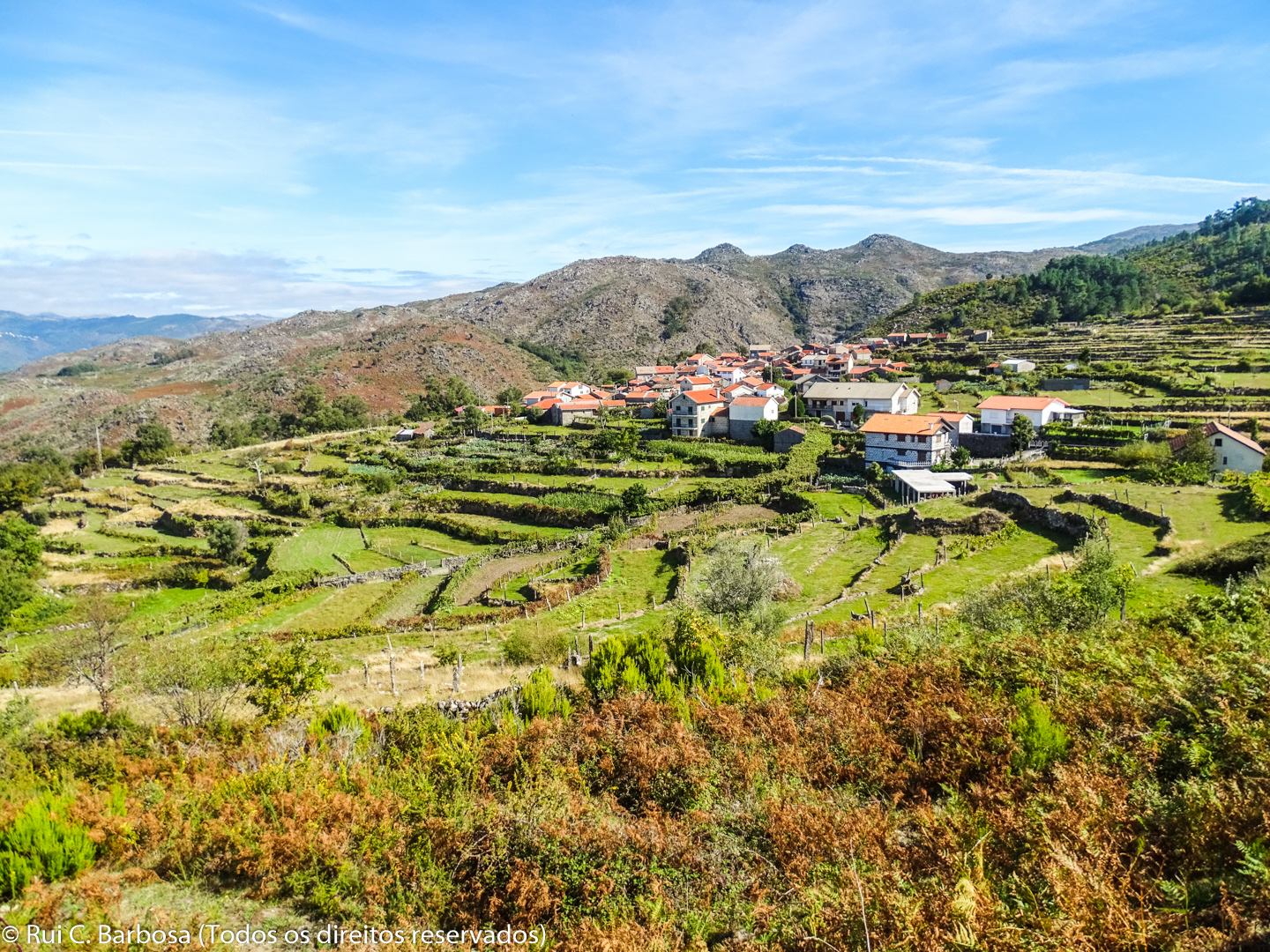
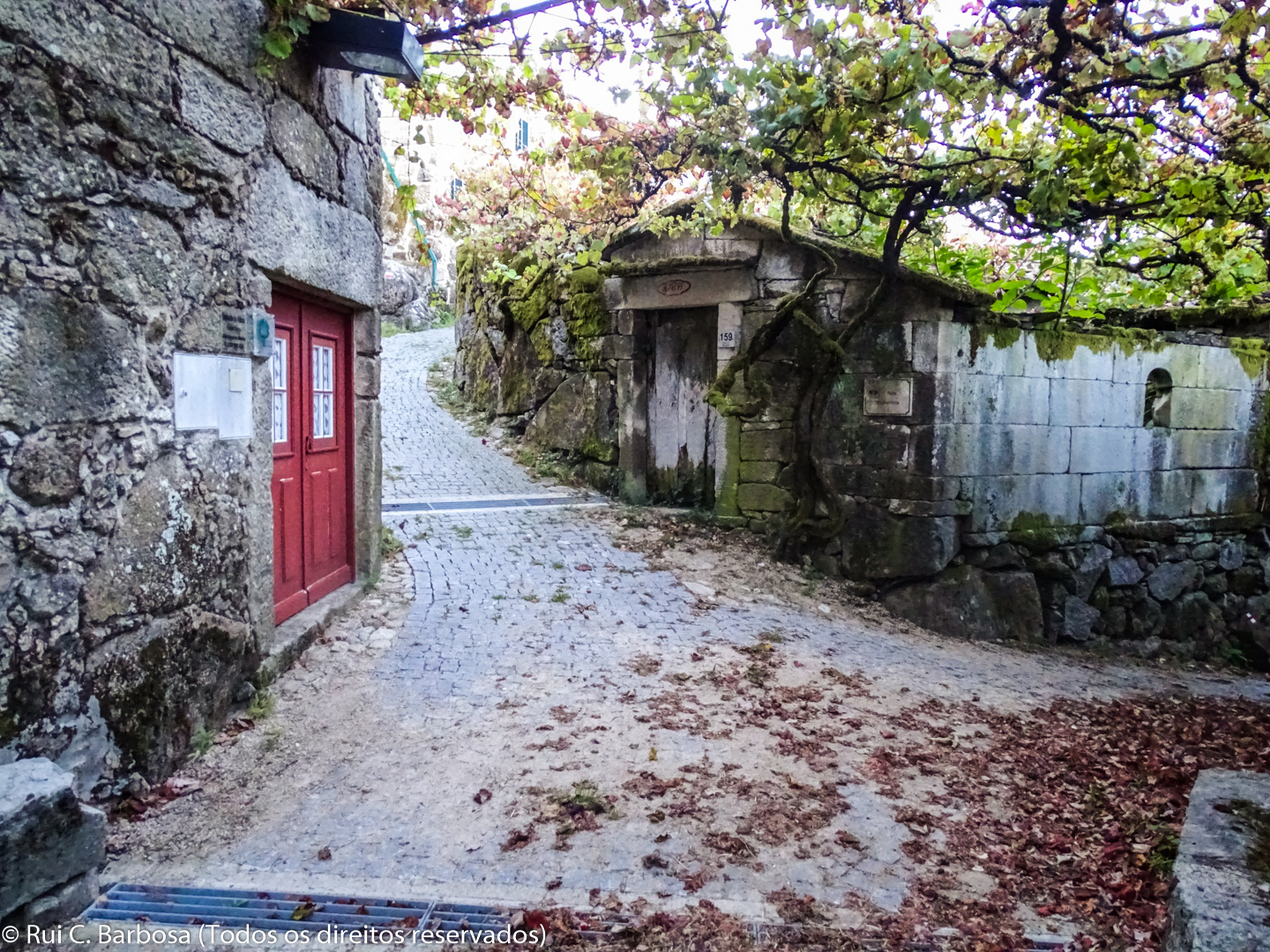
Finally, we walk along the granite pavement of Germil, accompanied by a fantastic landscape, fashioned by man over the centuries that is in perfect harmony with nature. After crossing the Chão da Ponte stream, we quickly reach the hamlet of Germil, set in the midst of a magnificent group of terraces - fundamental in the farming of the mountain slopes. Visit the village, which has medieval roots and which used to be called Saint Vincent de Germil, and discover its rich cultural heritage and above all its ethnographic value.


